

DESCRIPTION:
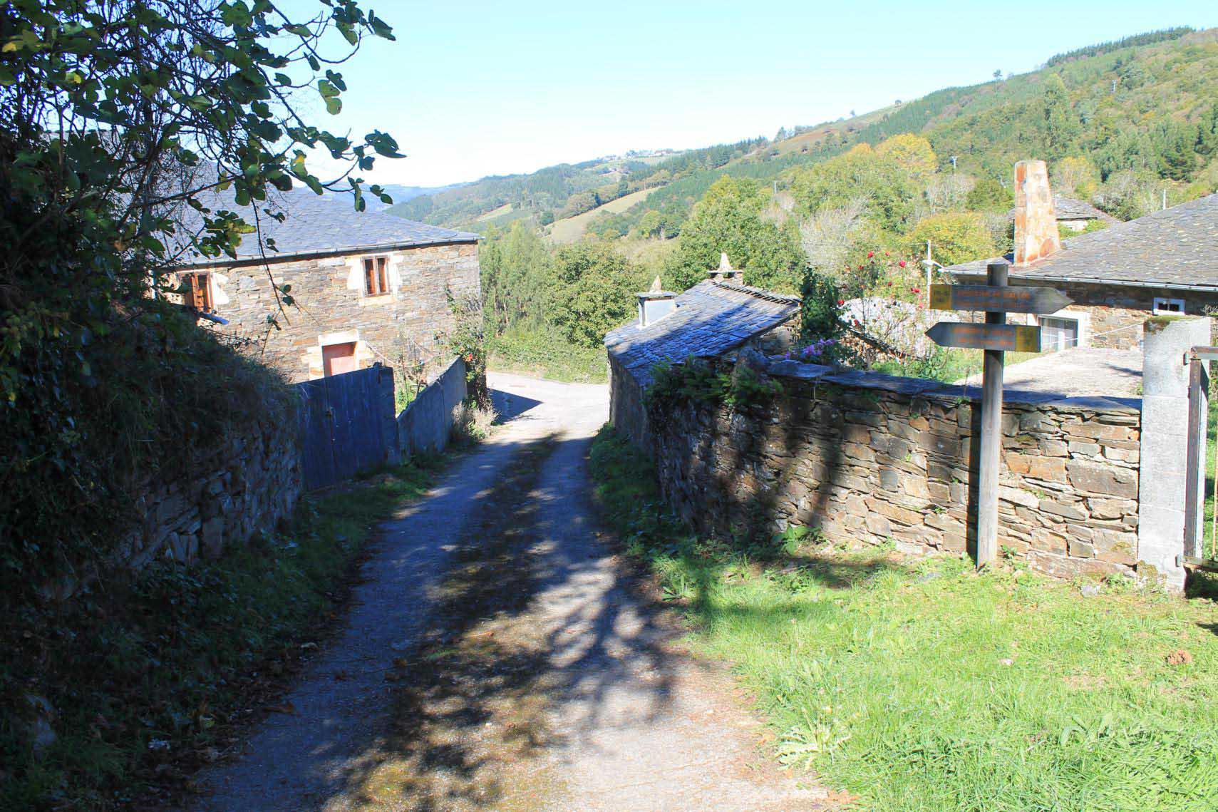
We start ascending the road LU-740 towards Fonsagrada and turn onto the first road on the left. Immediately we reach a small group of houses where Villa Severina stands out with a covered ?horreo?. We take the first street on the right, leaving the tourist accommodation on the left. Promptly we find the road LU-740 again and we cross it to continue on the right along a path leaving the asphalt behind.
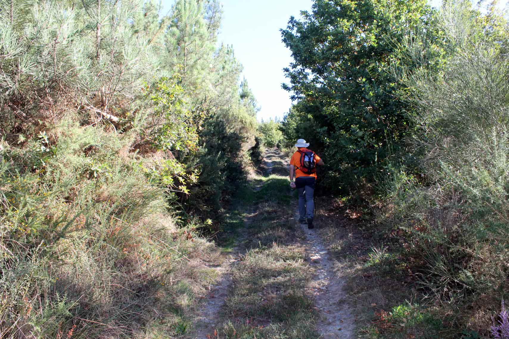
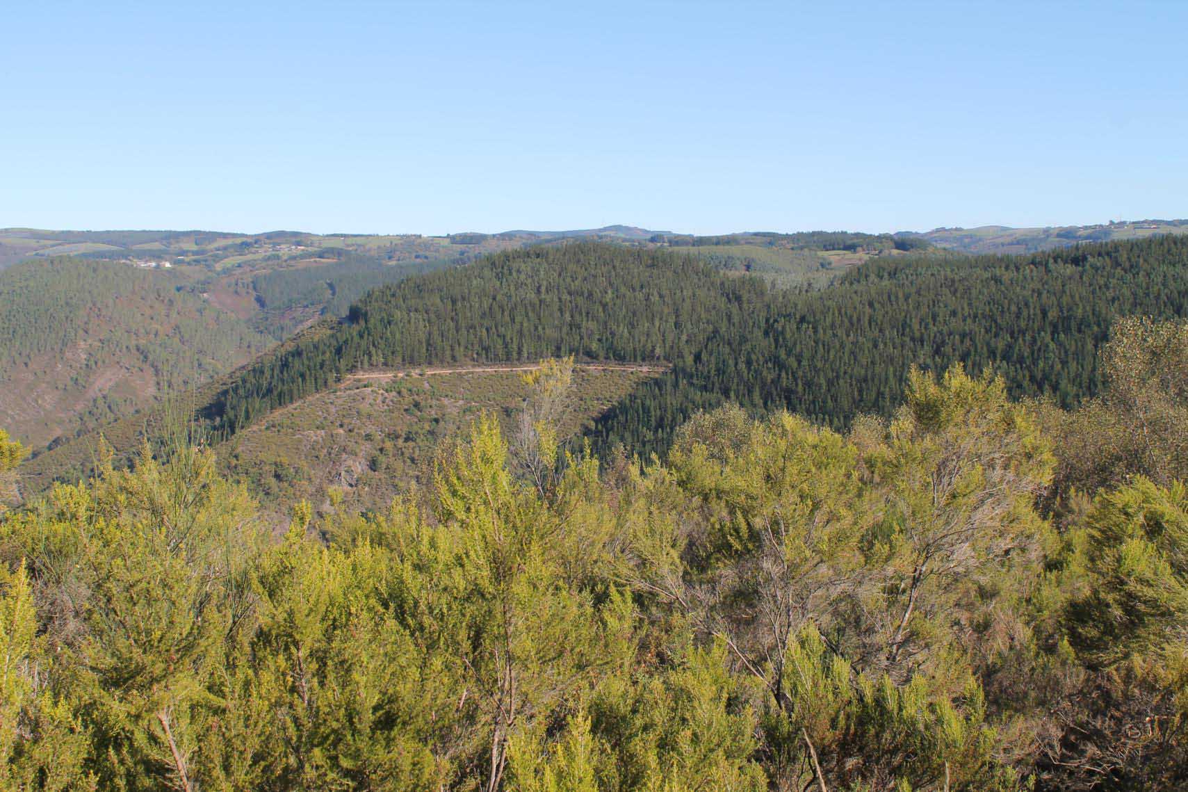
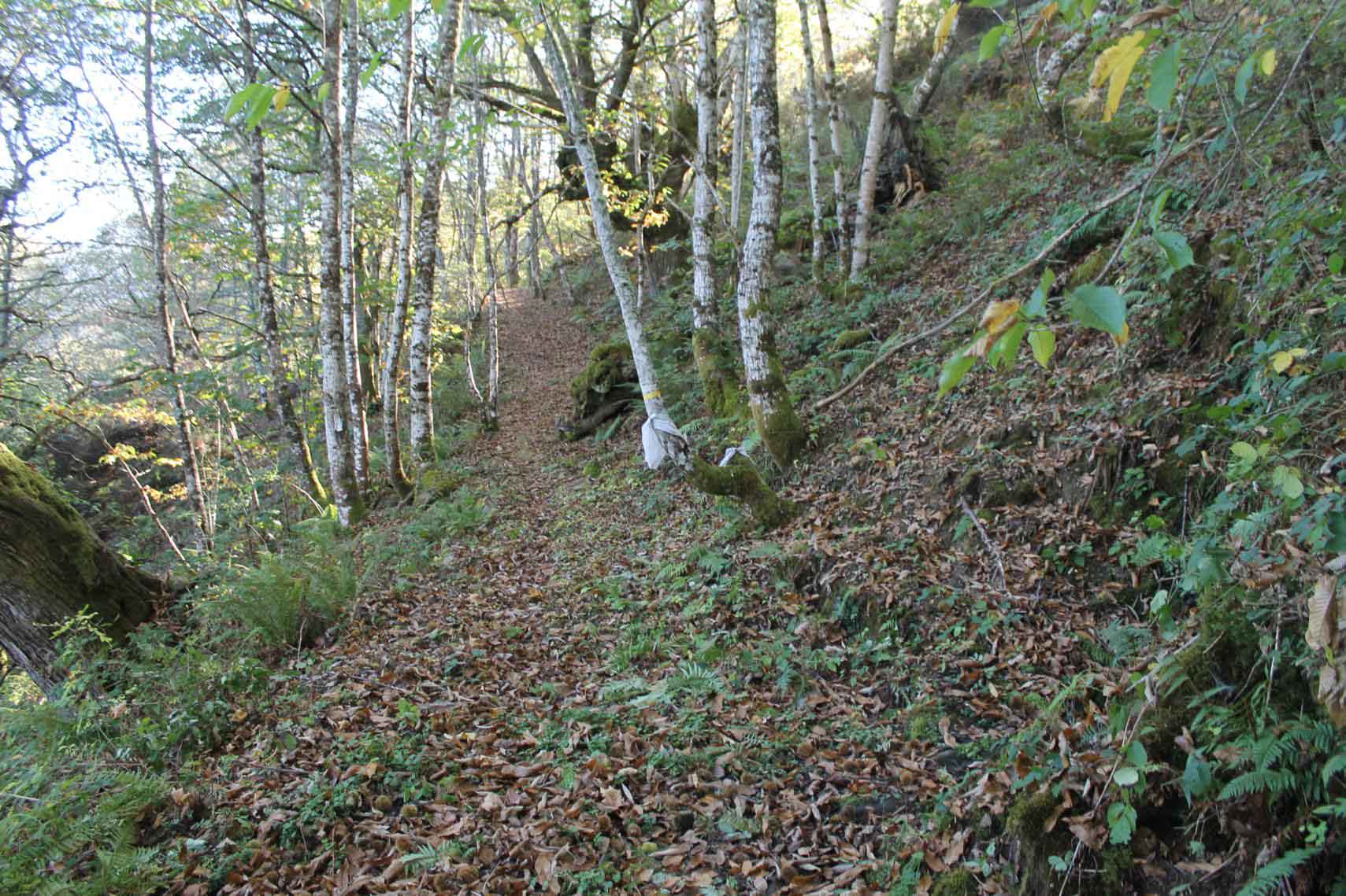
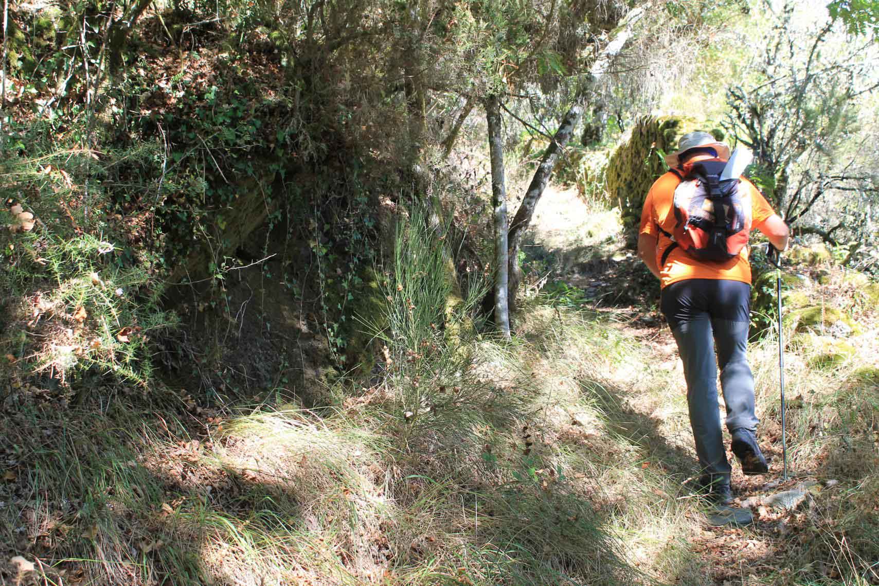
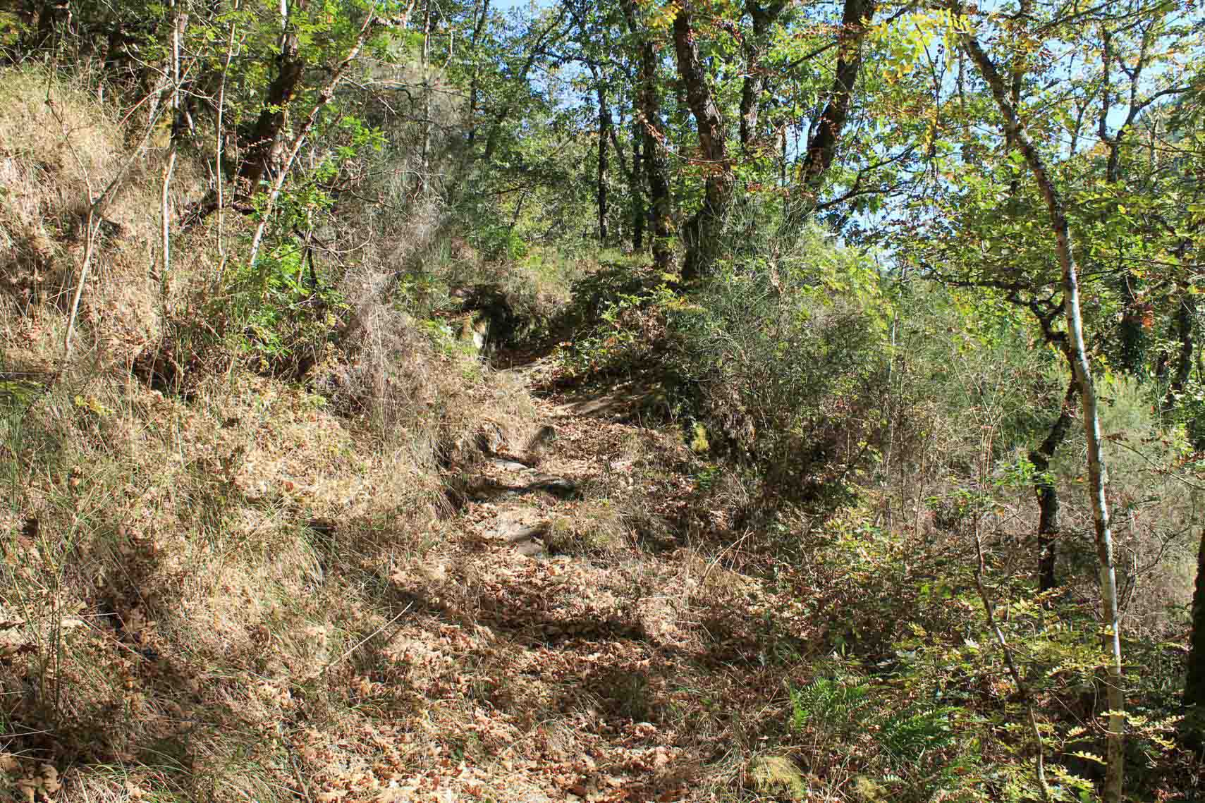
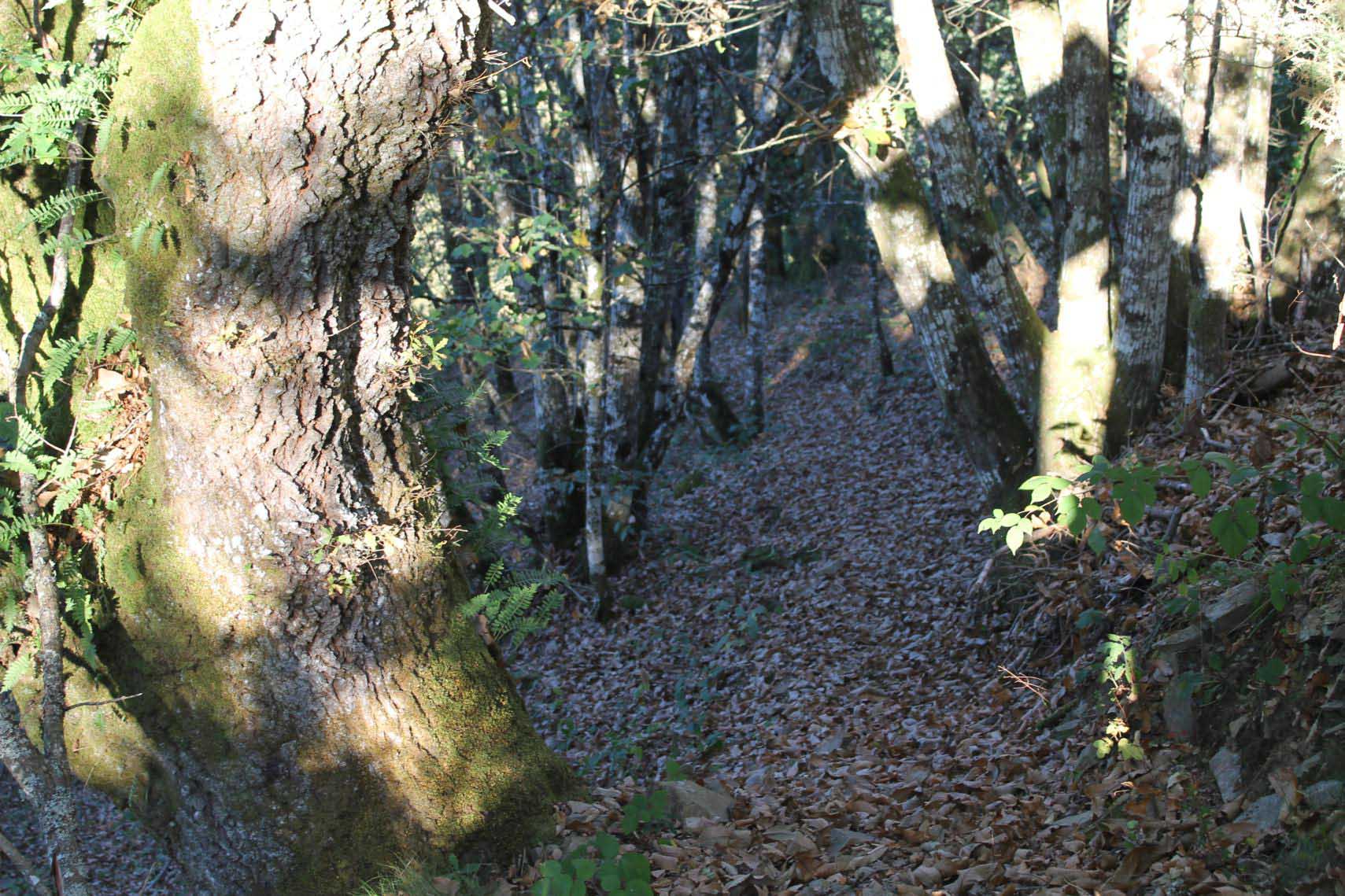
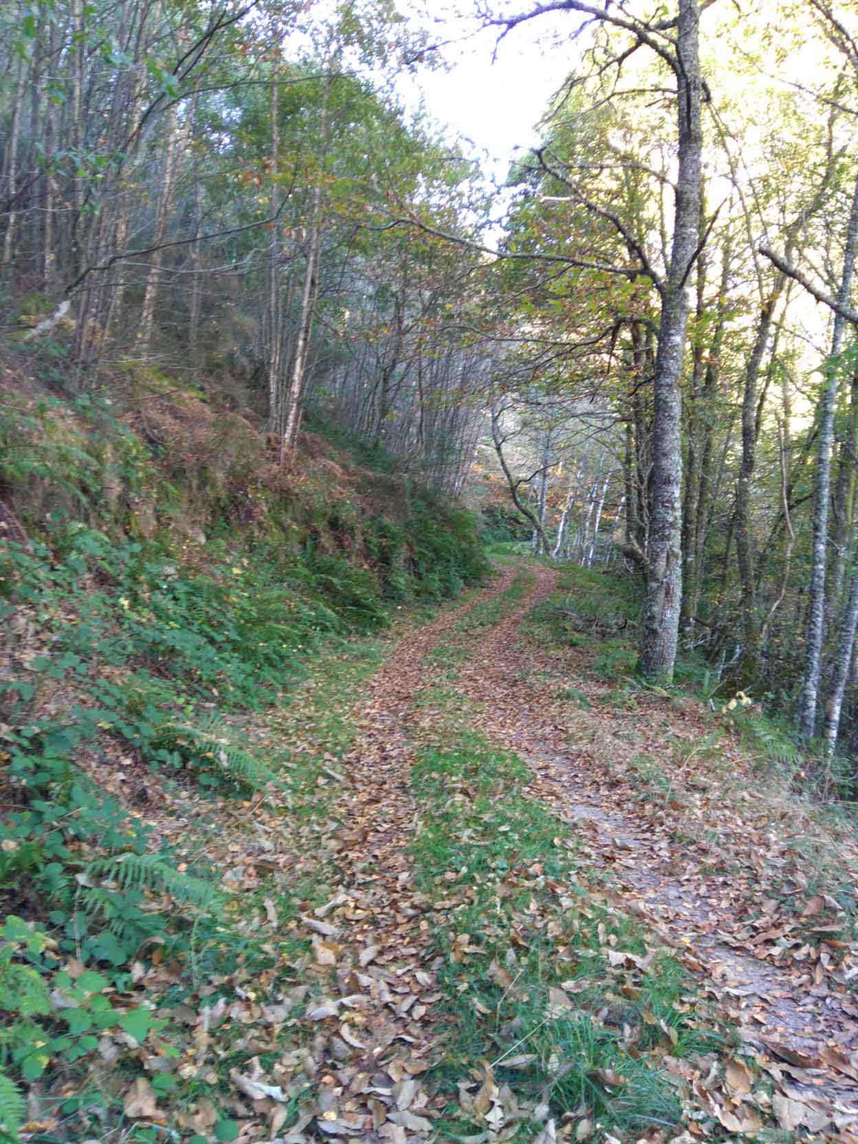
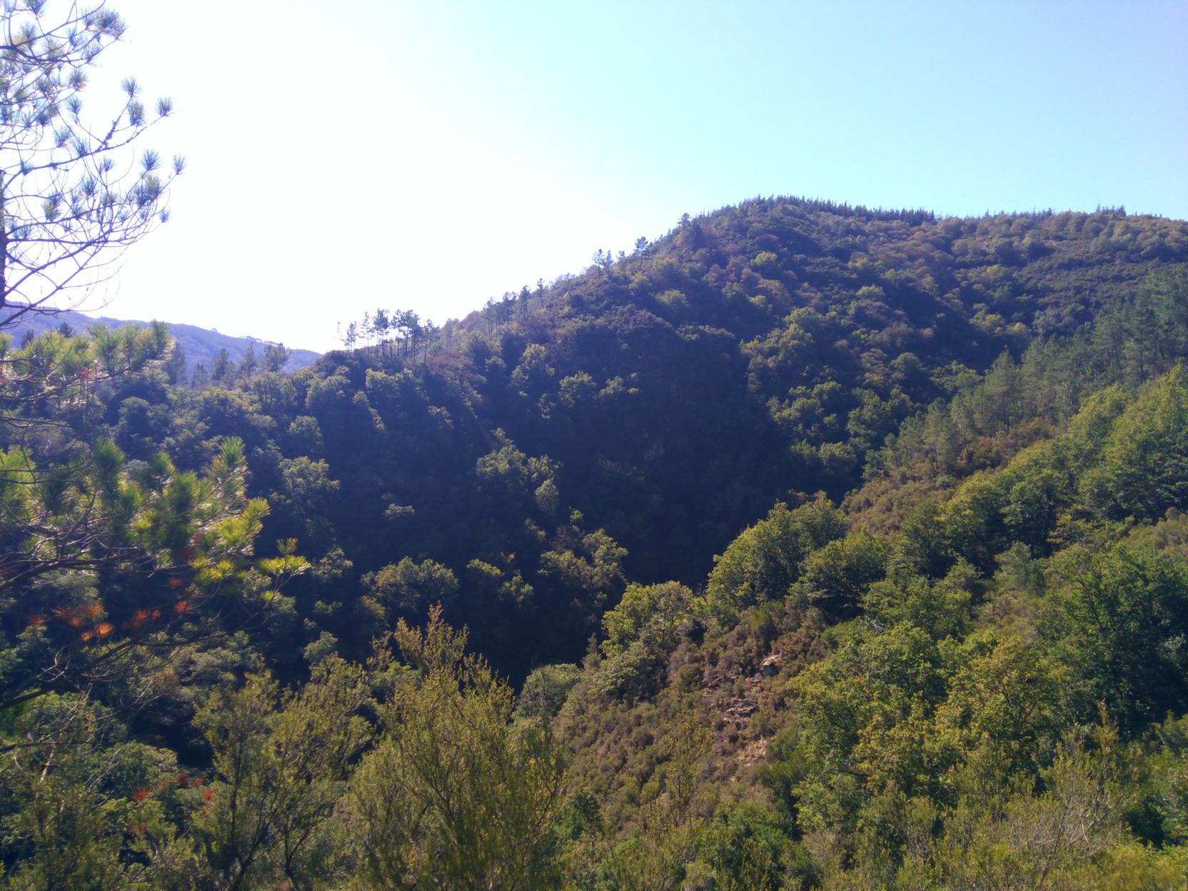
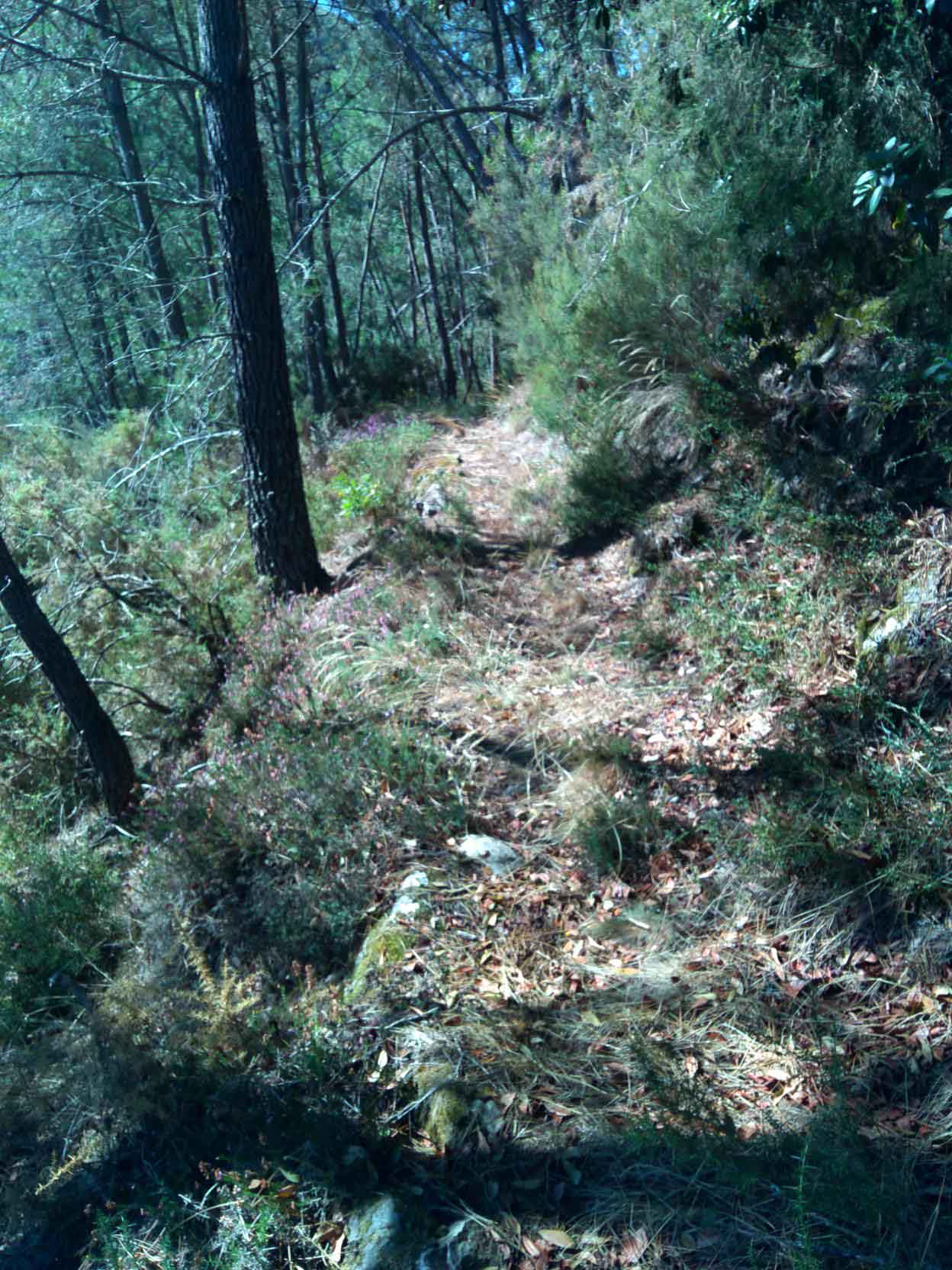
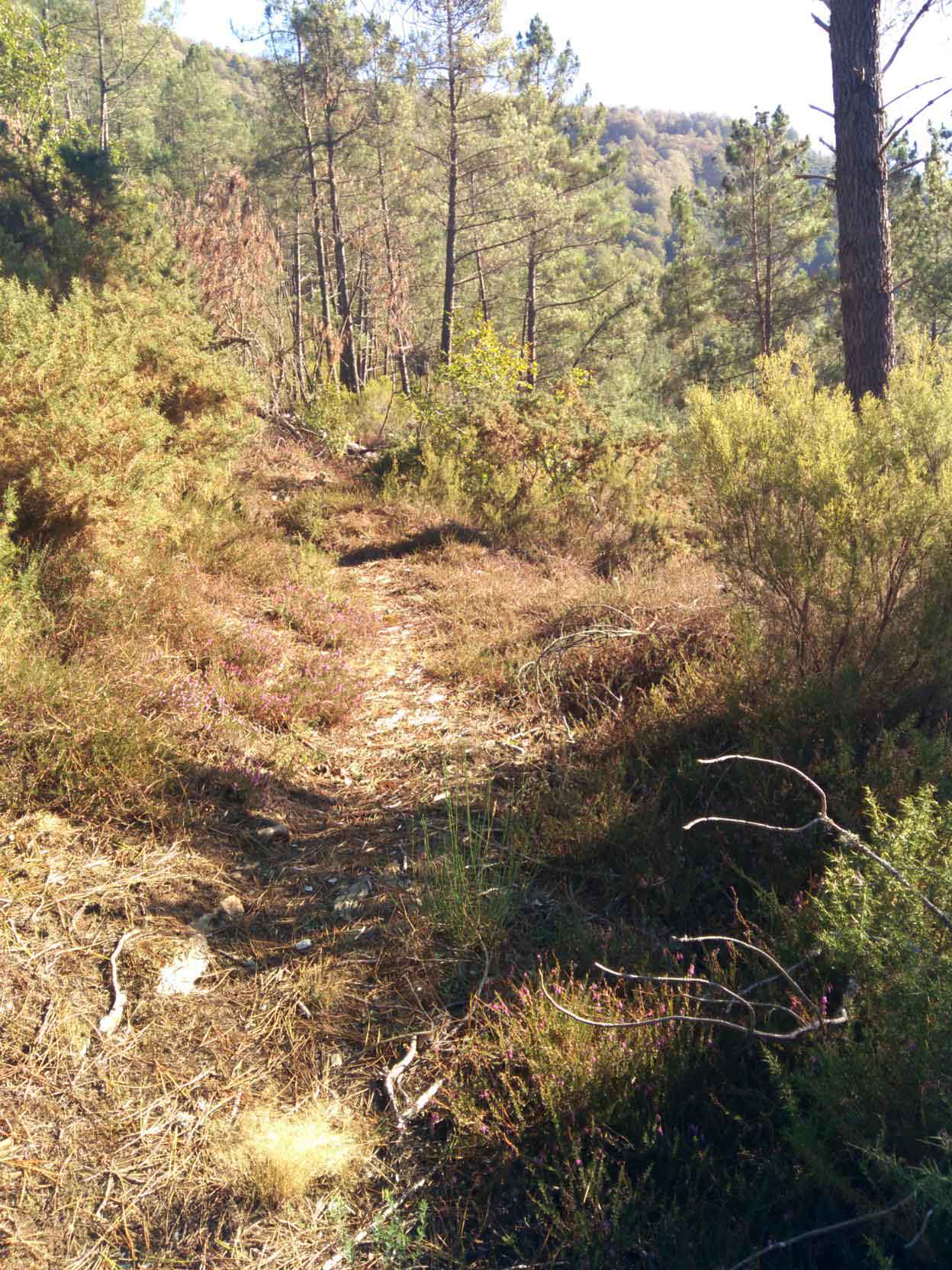
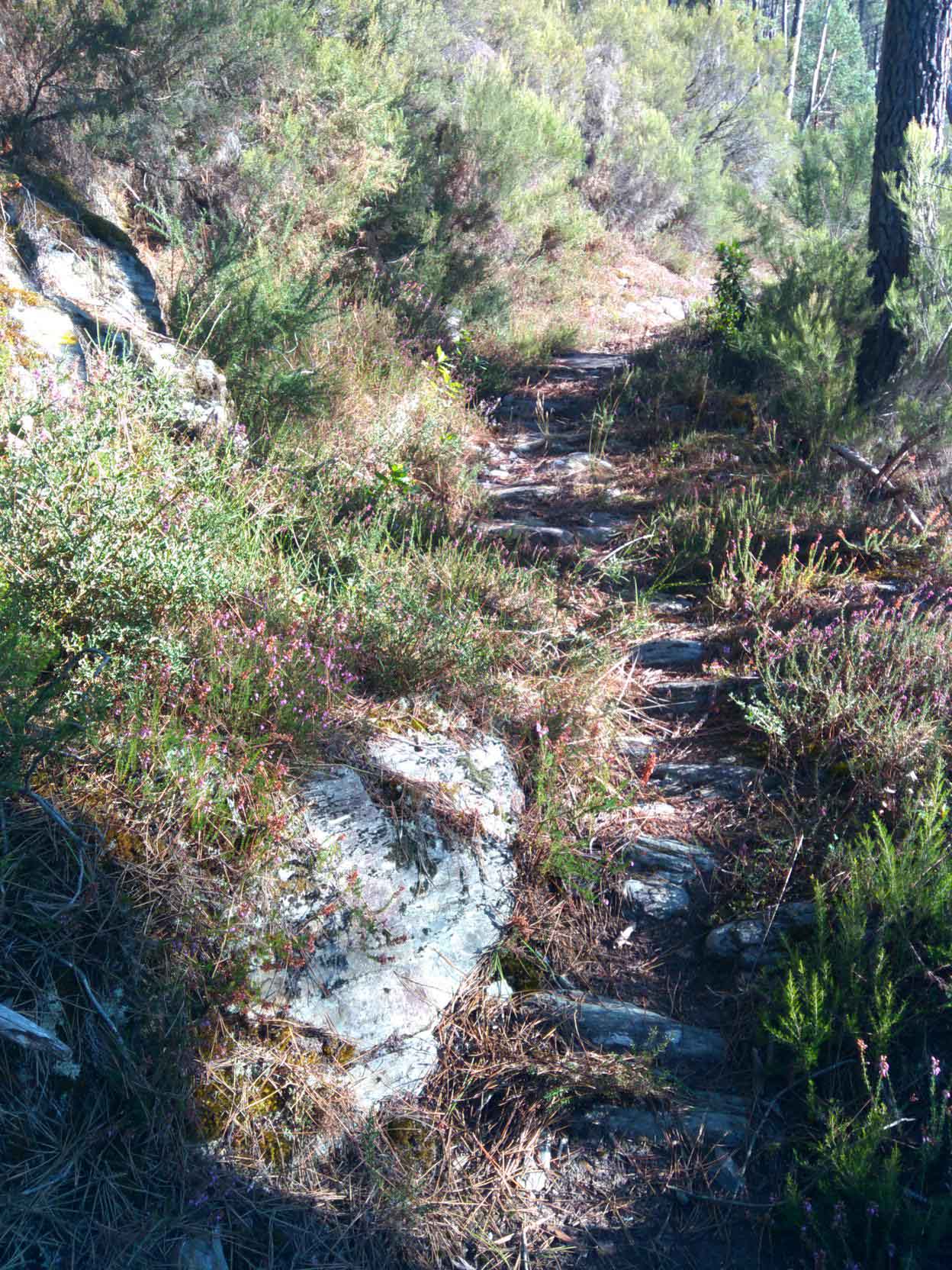
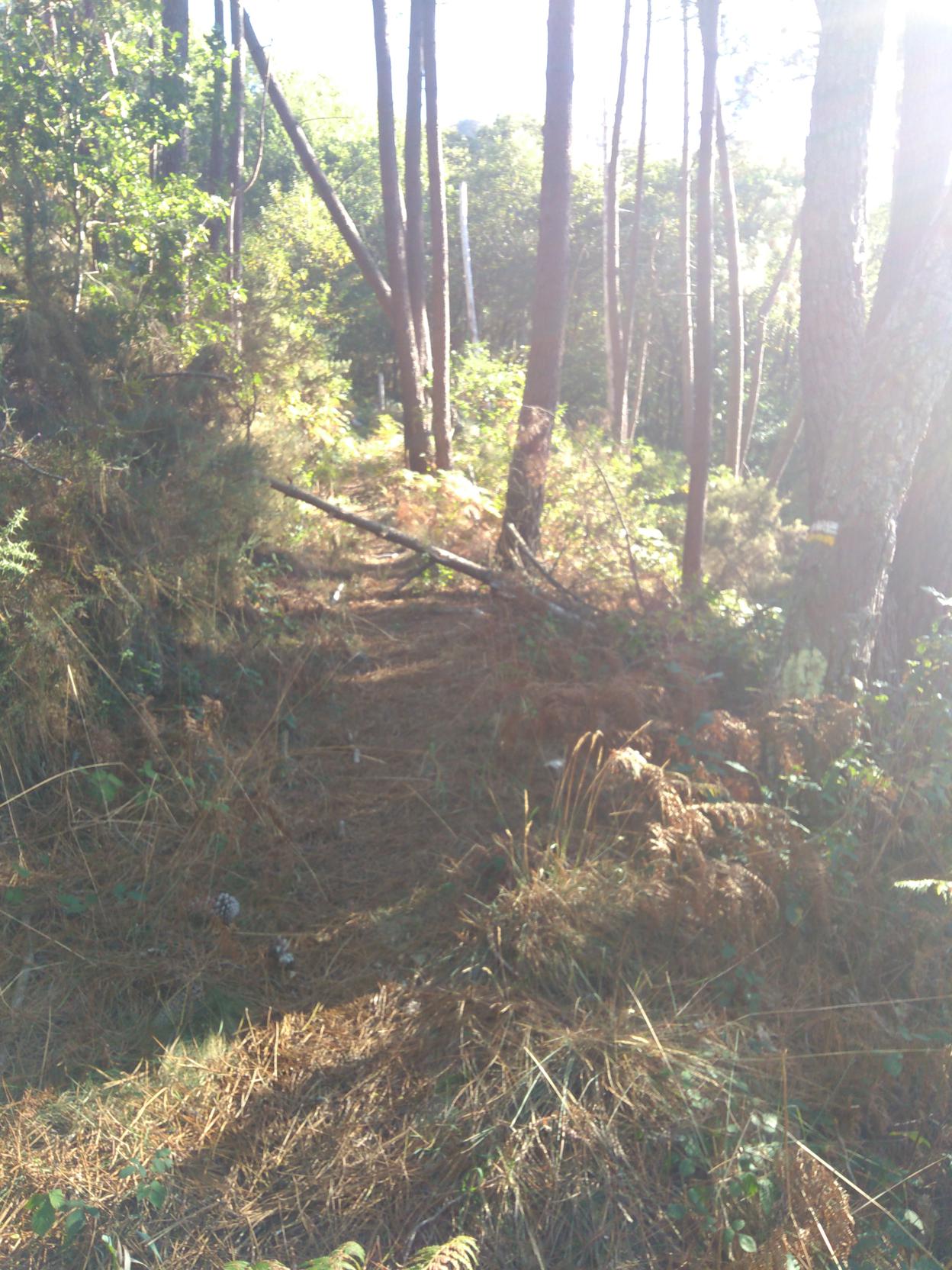
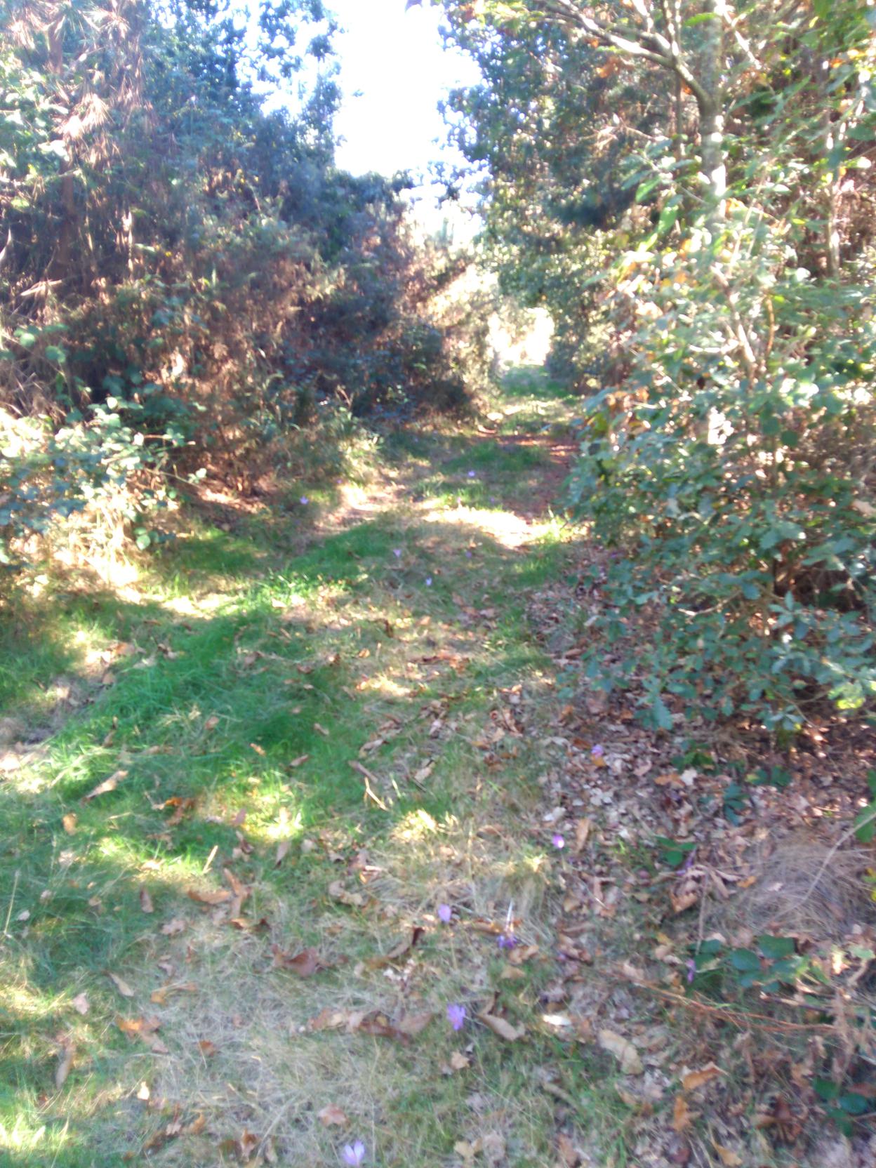
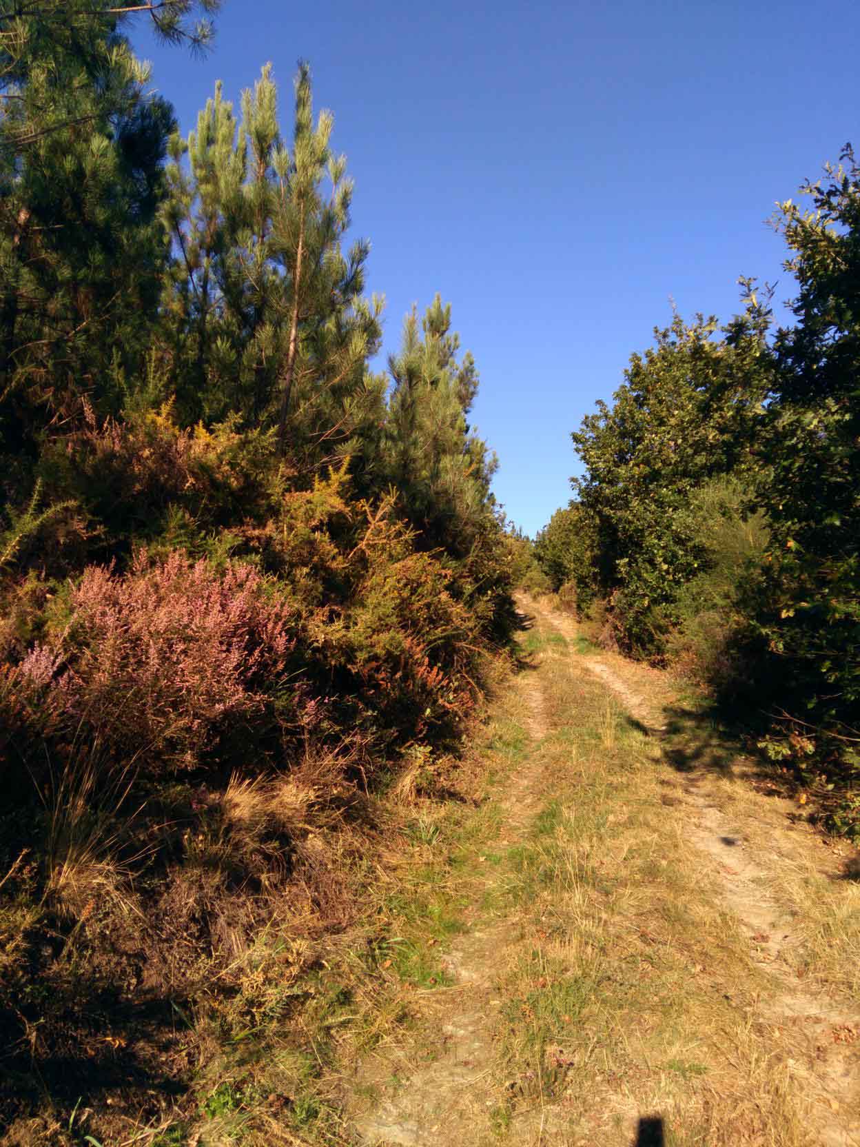
We continue and after overcoming a steep slope, the path goes through an area of pine reforestation. In few hundred metres you will find a coalmine on the right side of the path.
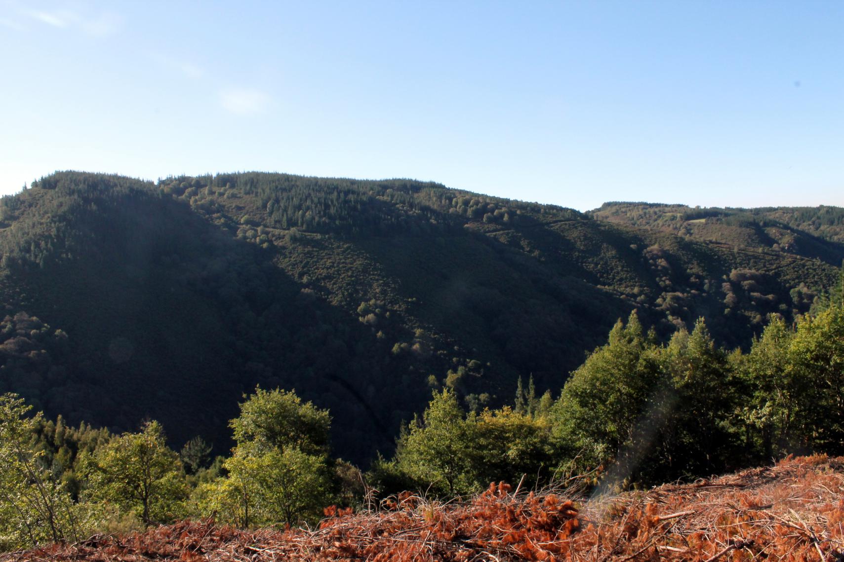
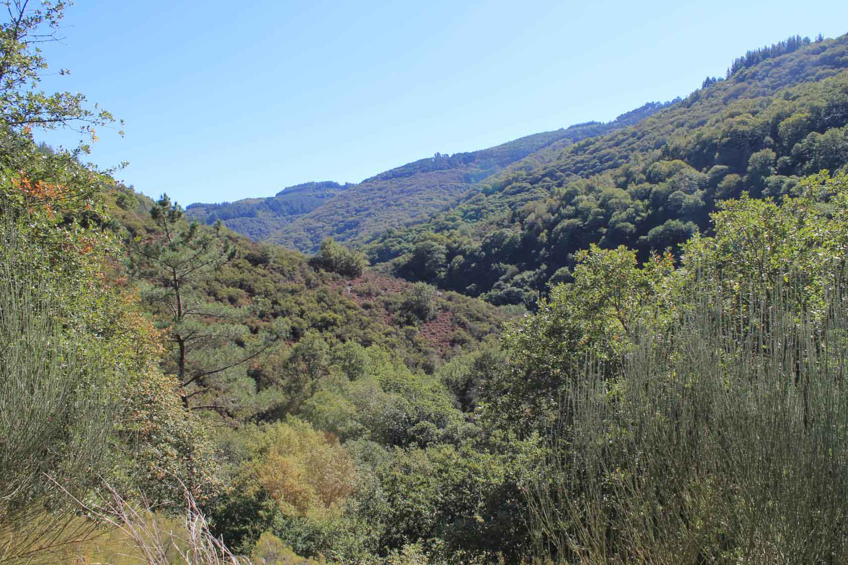
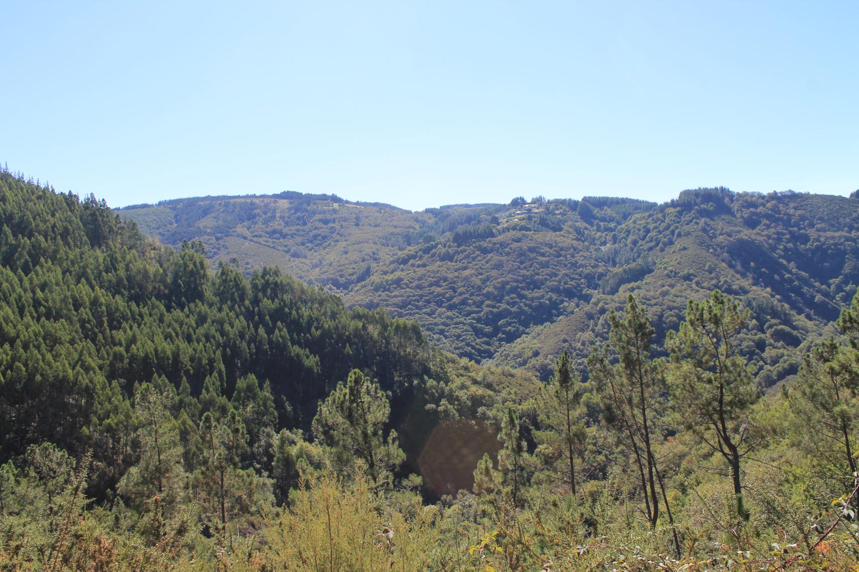
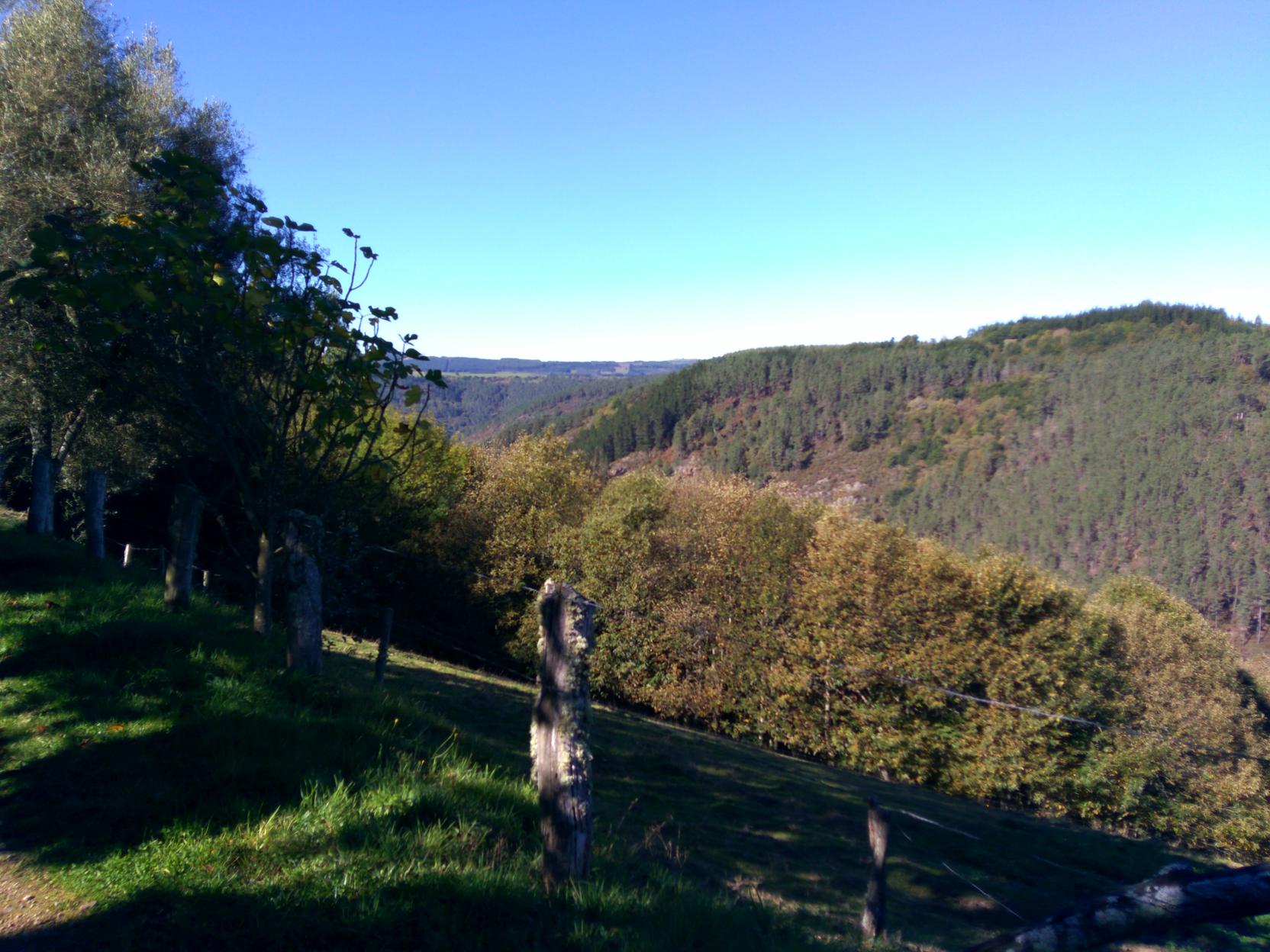
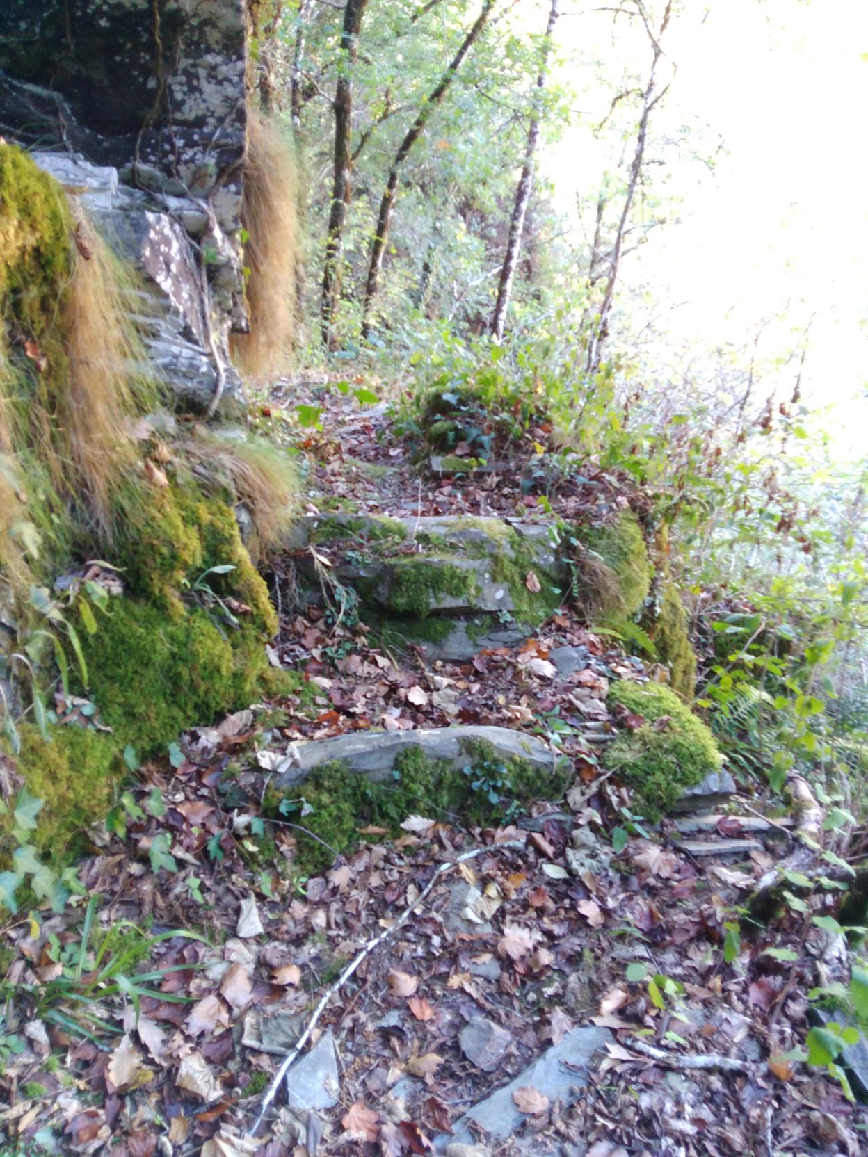
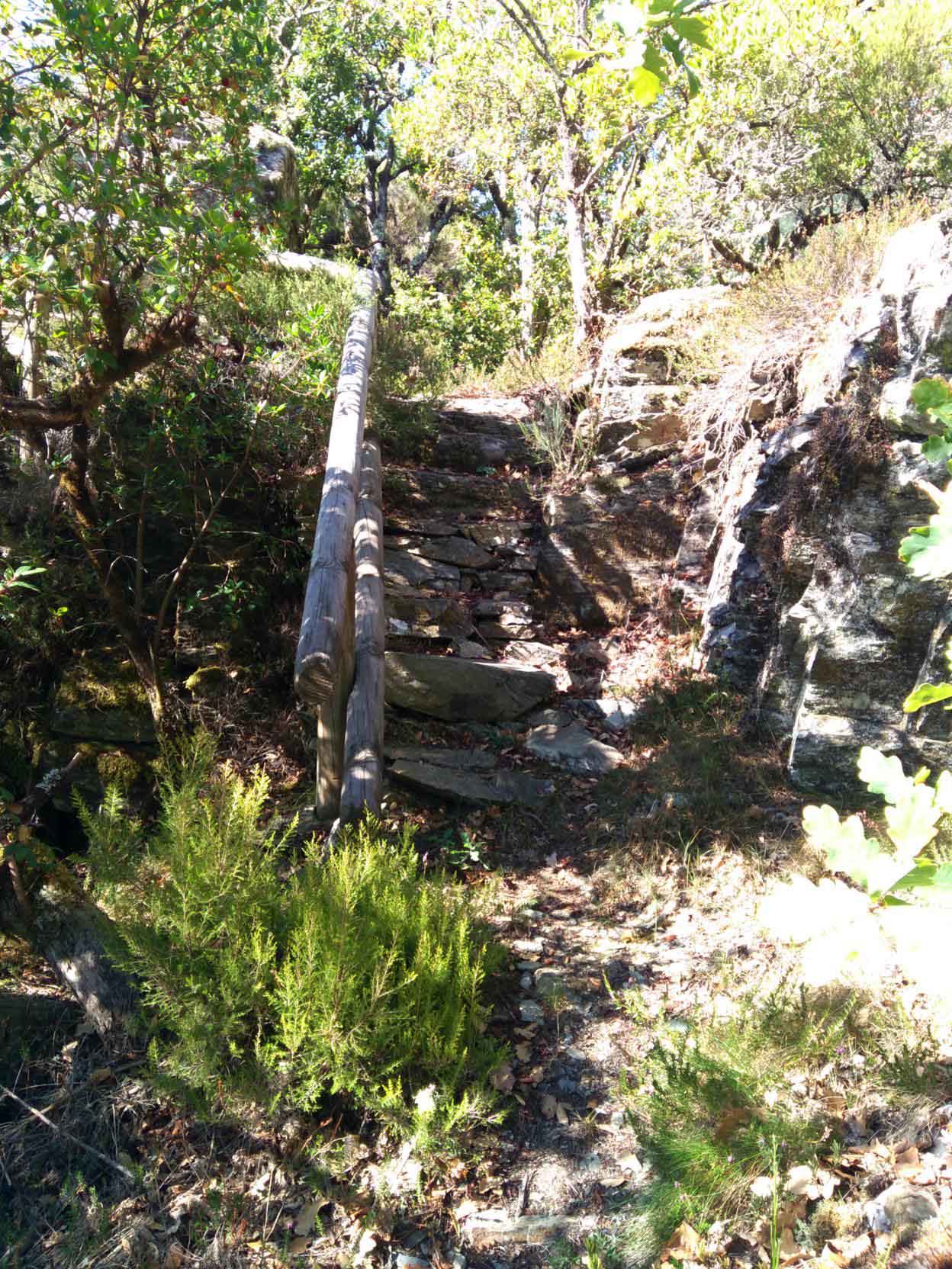
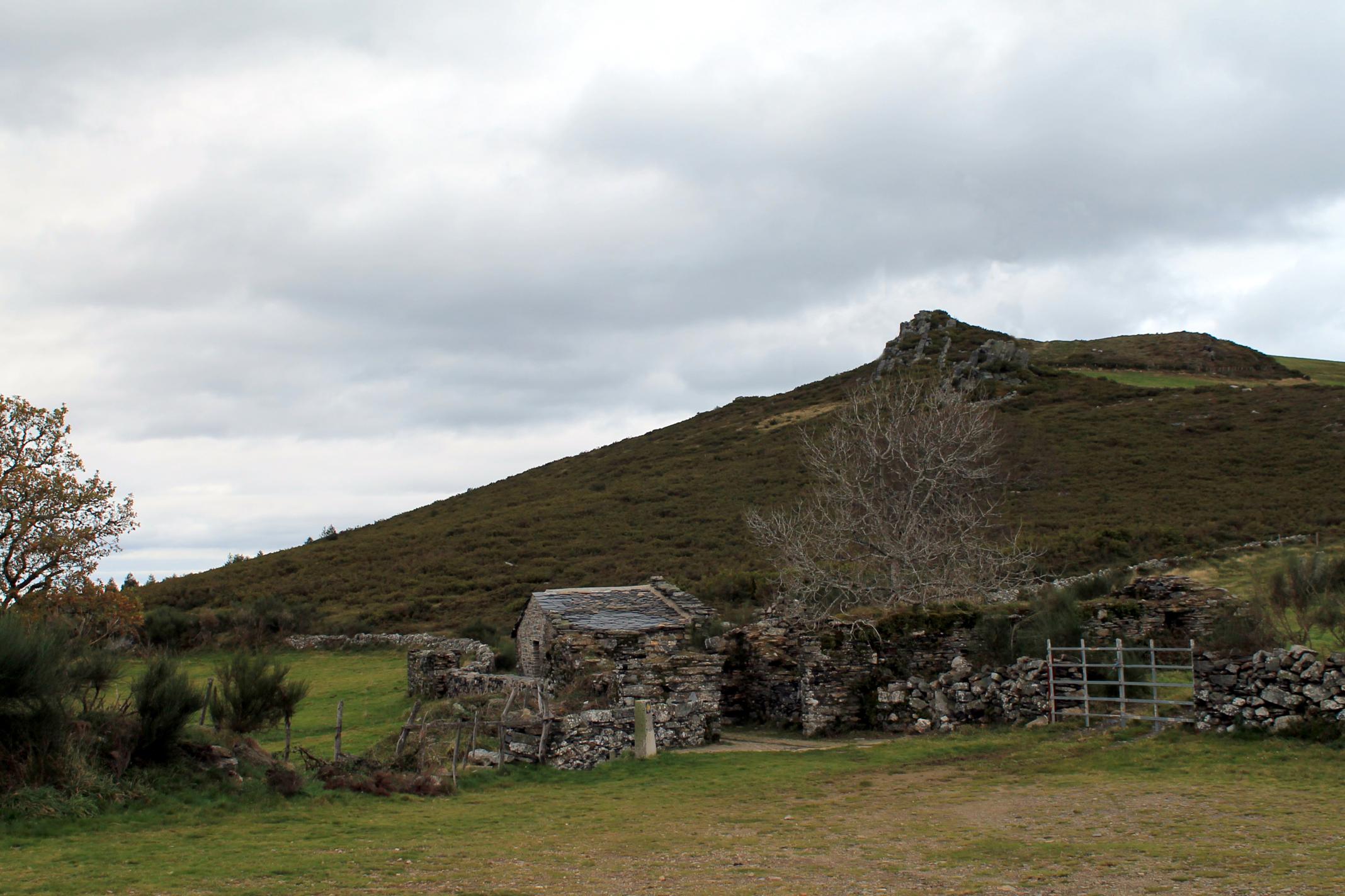
The track leads us to a stone promontory with a view point a cortin embedded in the base of the rock. Continue the ascent to the hill fort, which will border and begin the descent to the river Rodil.
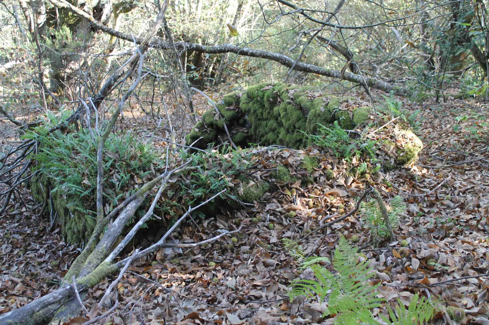
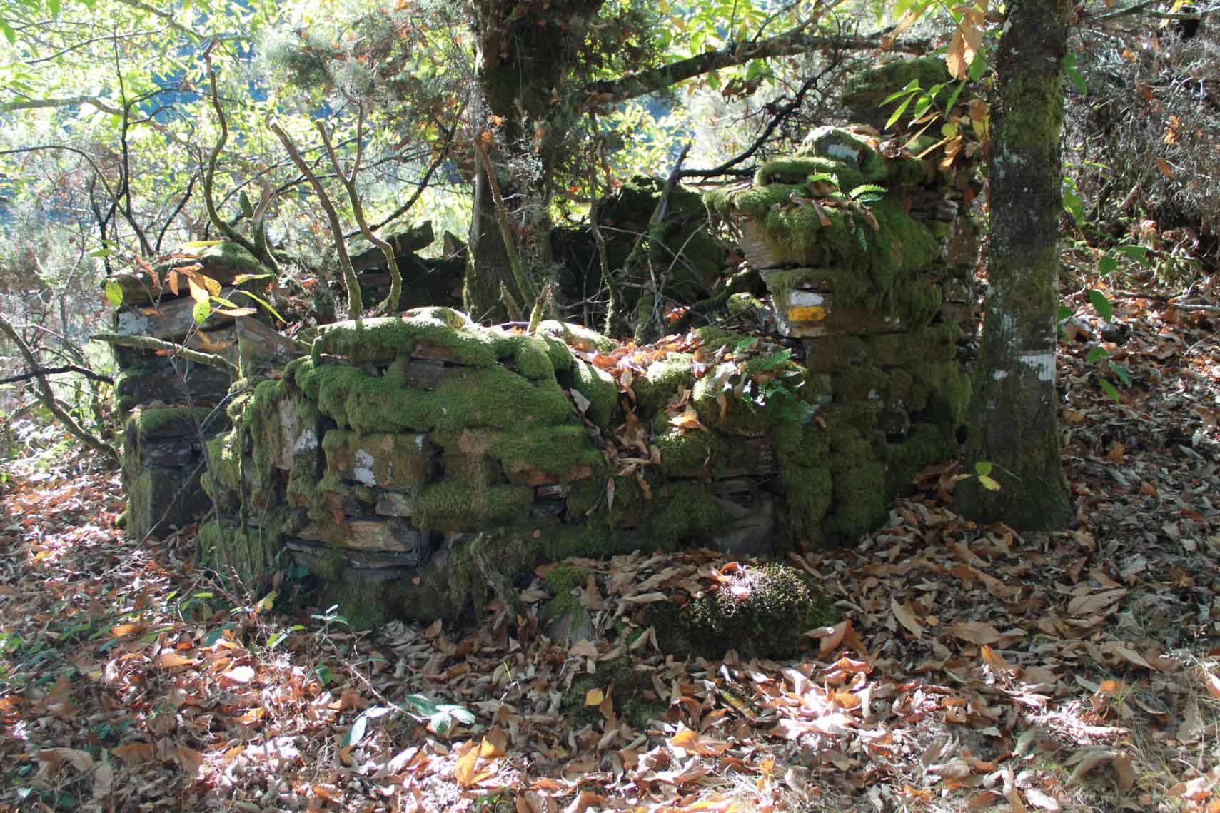
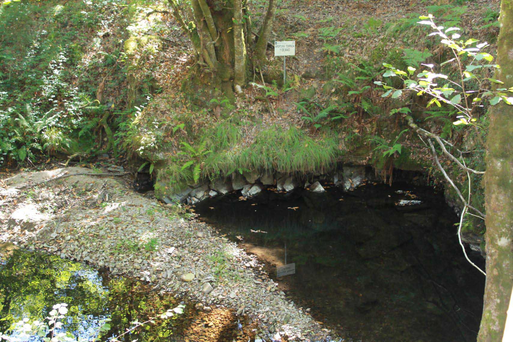
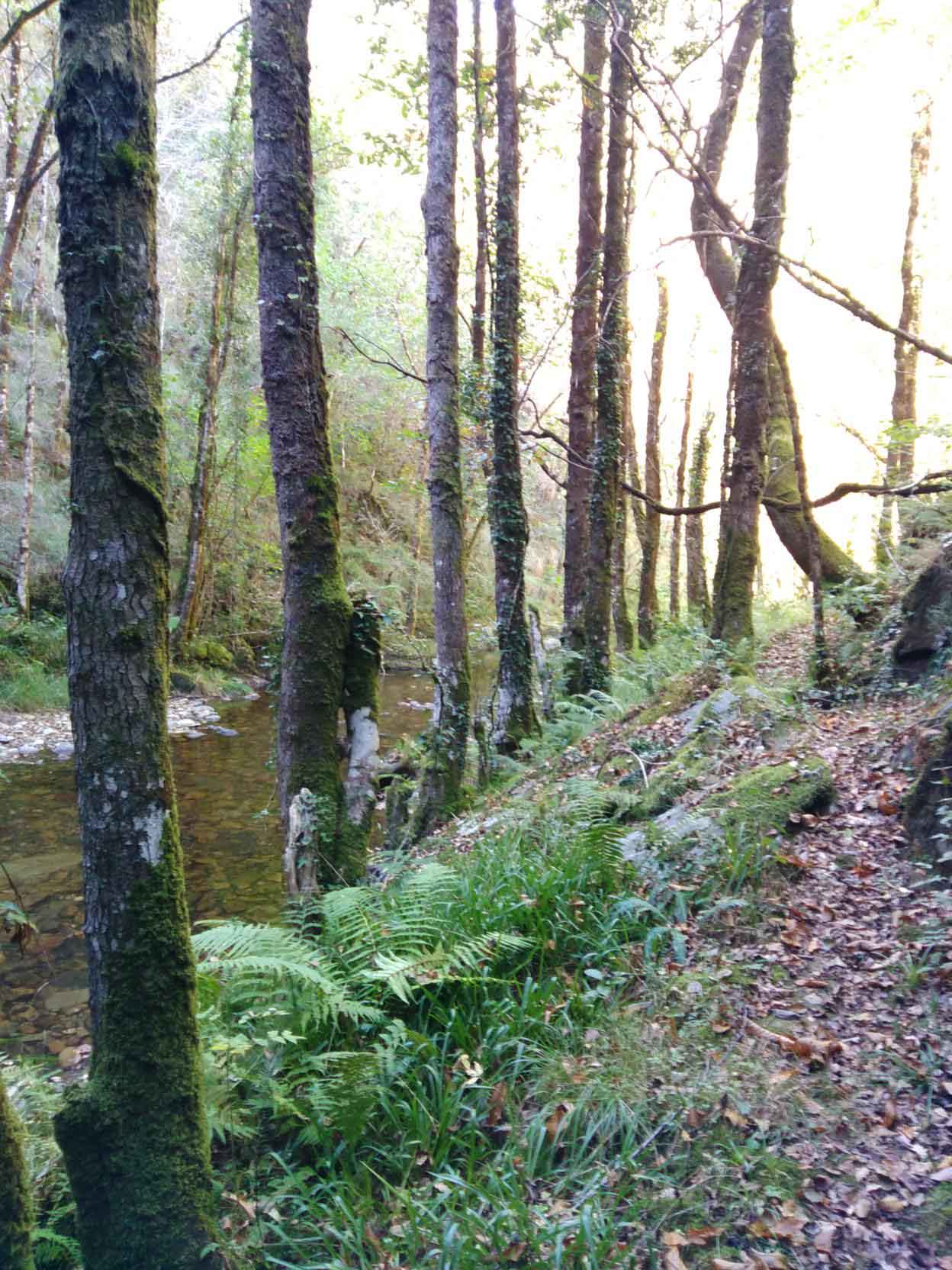
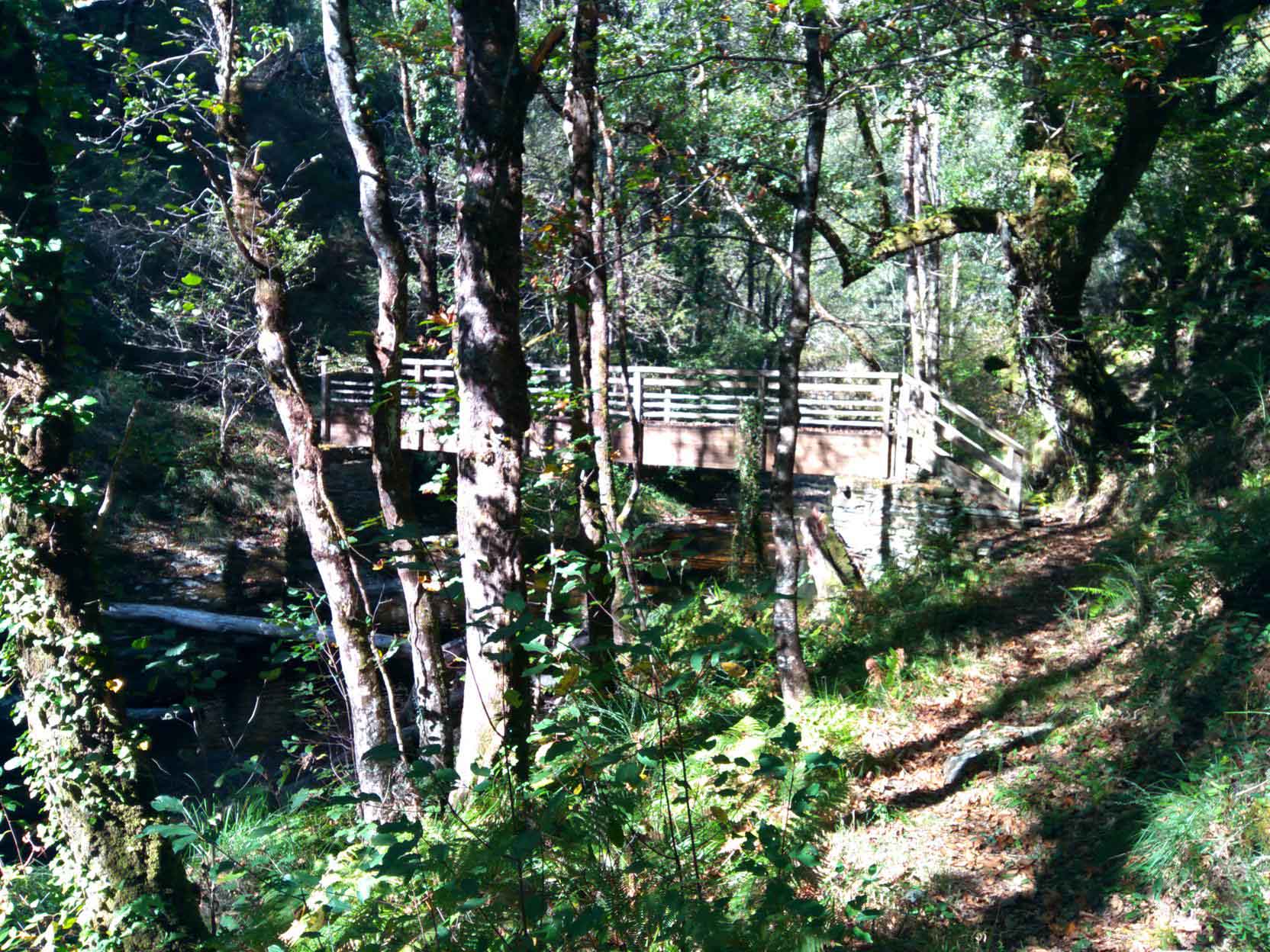
We find the Puente Nuevo o Rodil Bridge, from where we can see the mouth of the Veiga del Logares river in the Rodil. Cross the river and start the climb until we find a corripa (circular wall to protect honey hives and chestnuts husks from the bears) on the left hand of the path, which at this point splits, bear right leading to a loop that you can take to reduce the length of the route. After crossing the Castelo bridge , we take the first left turn that take us up to the inhabited hamlet of Parada, we walk down to the Parada river that will take us to the Parada water mills.
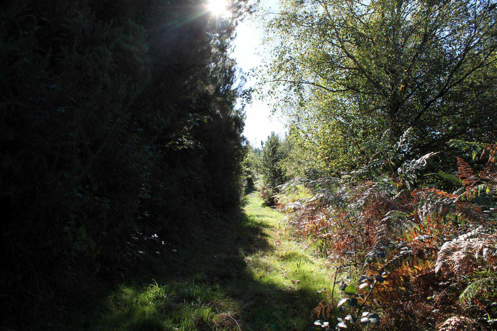
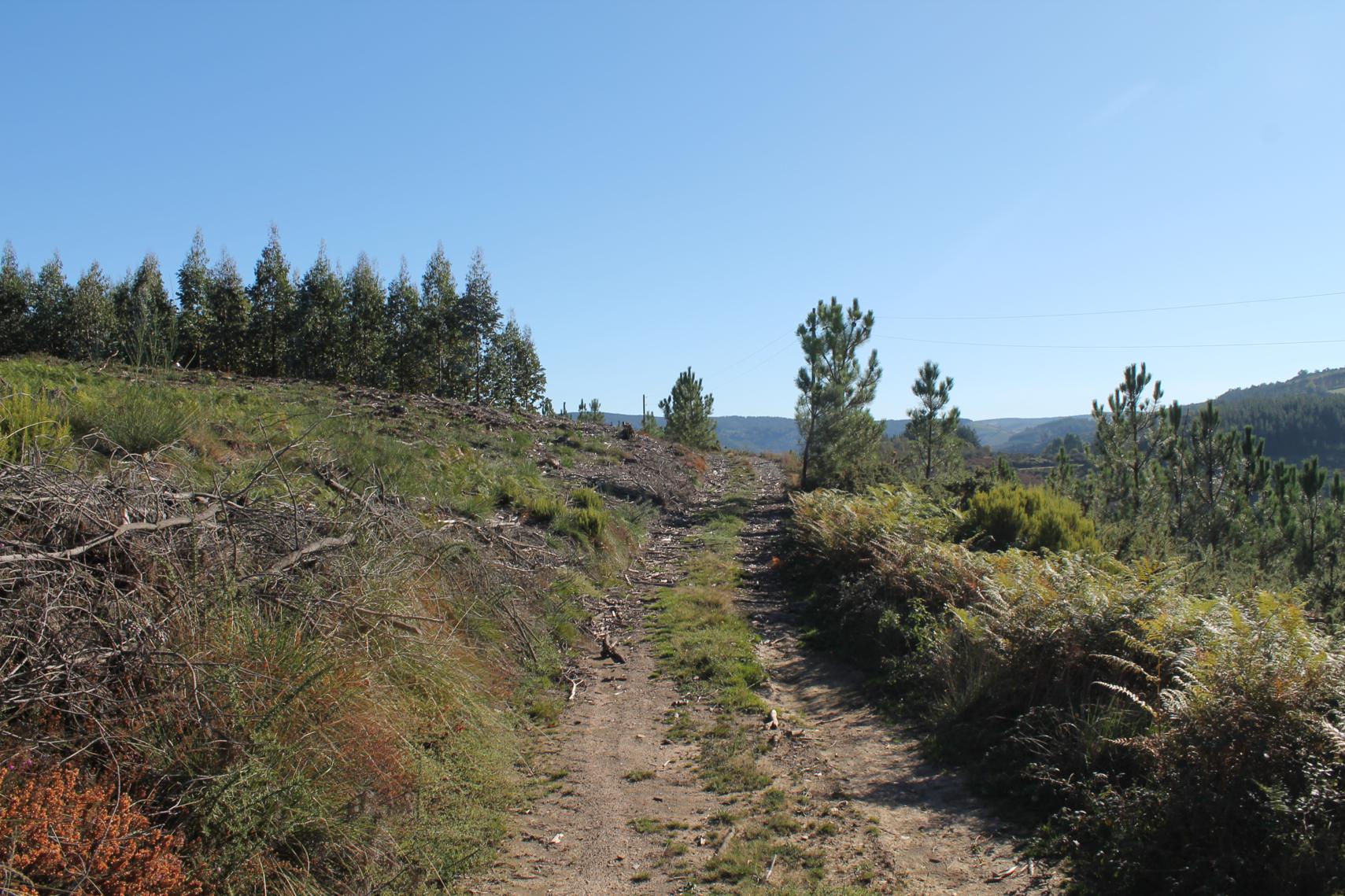
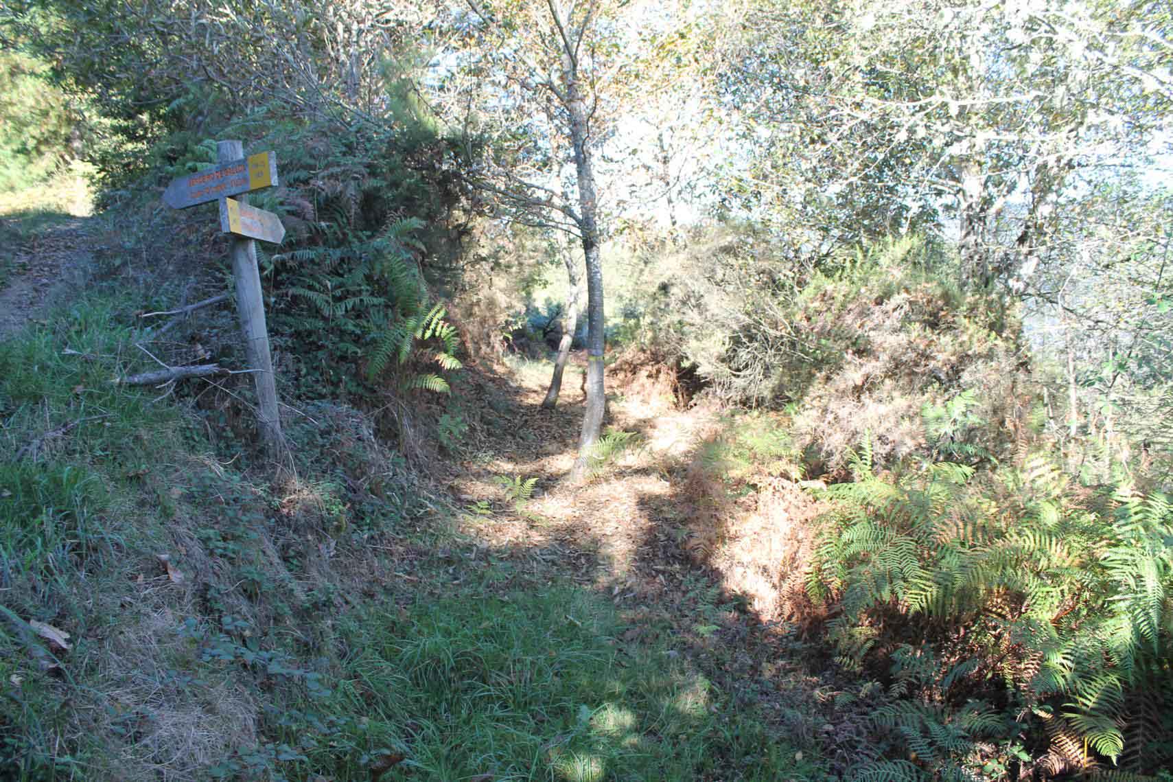
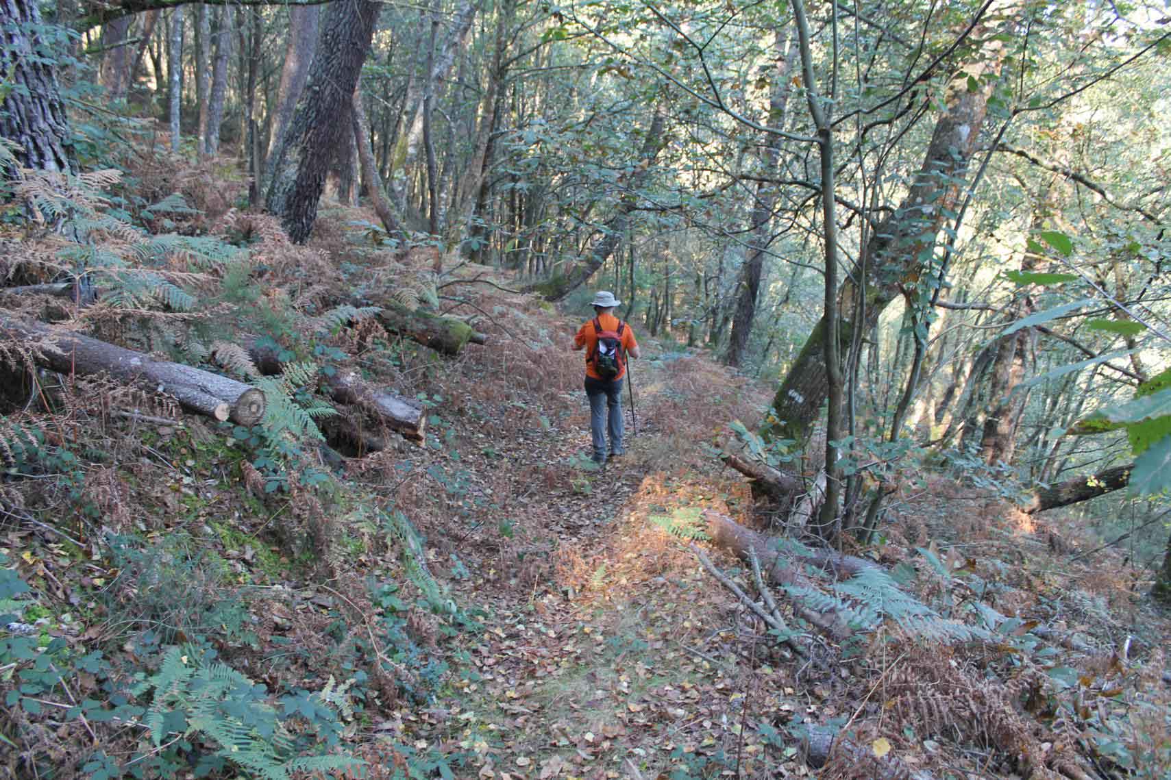
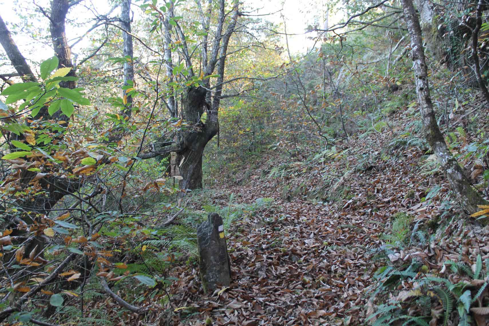
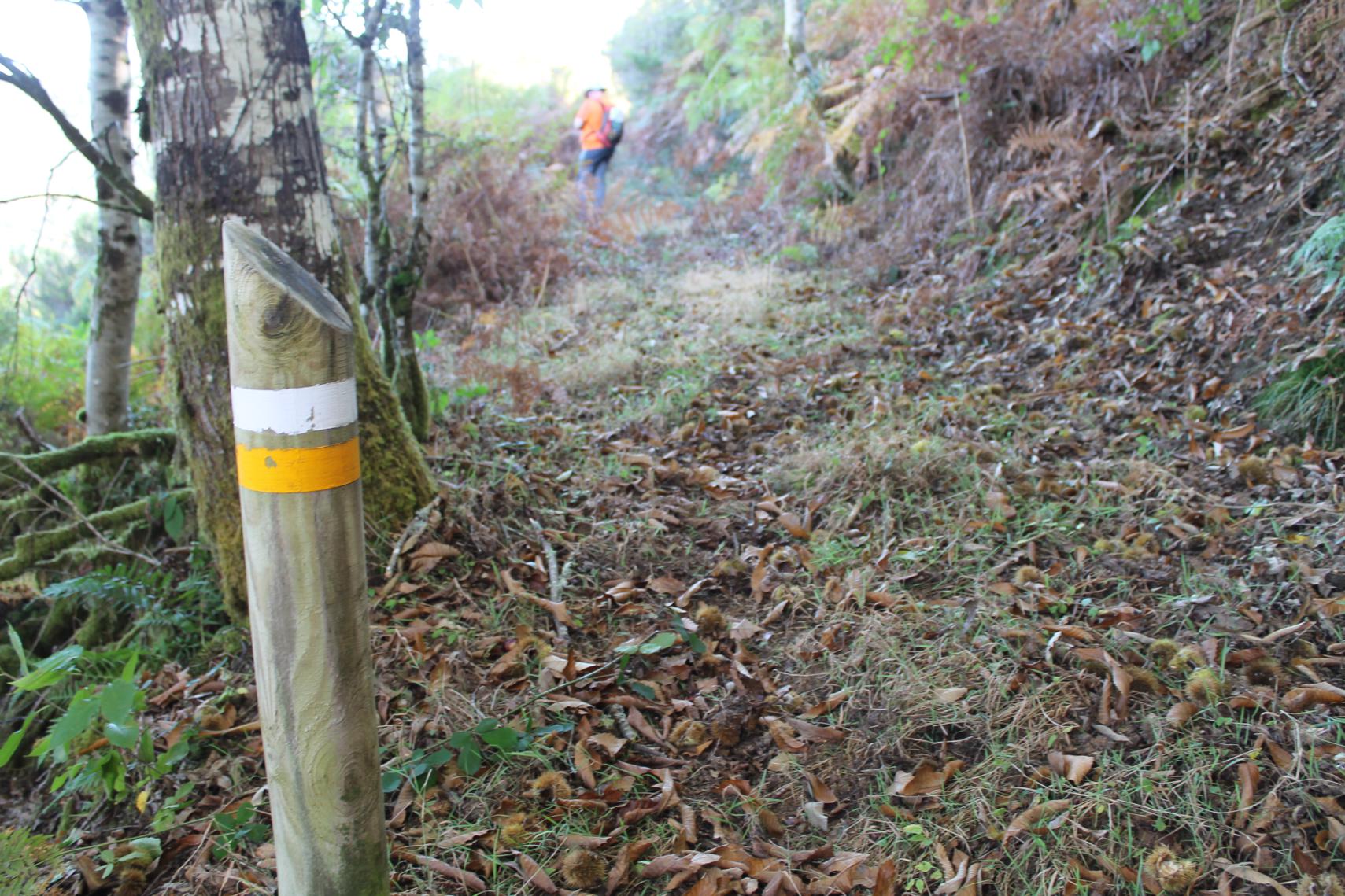
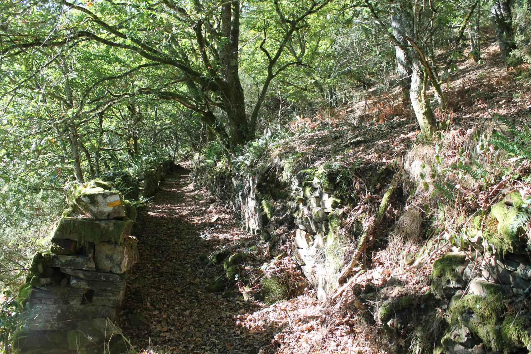
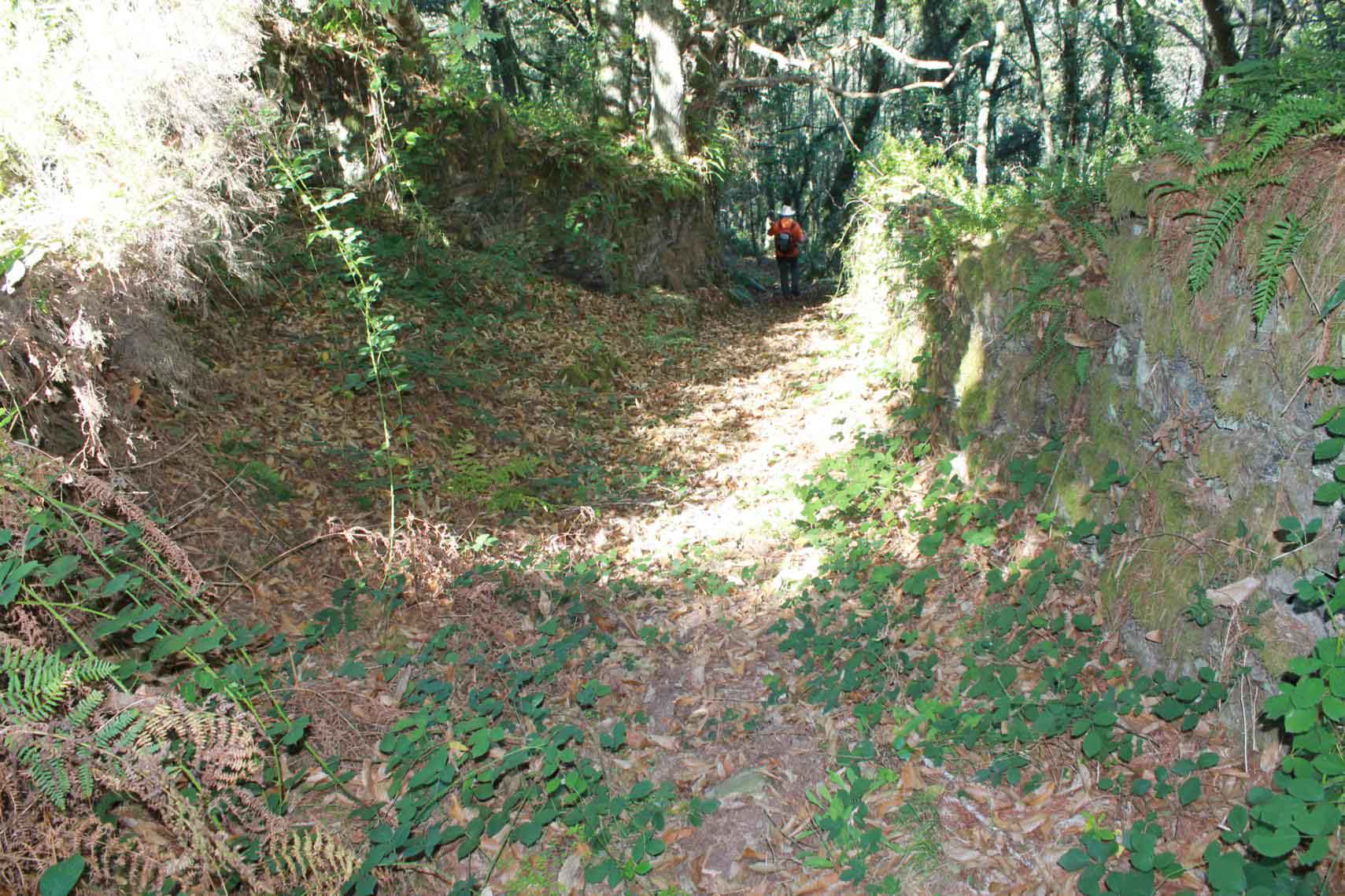
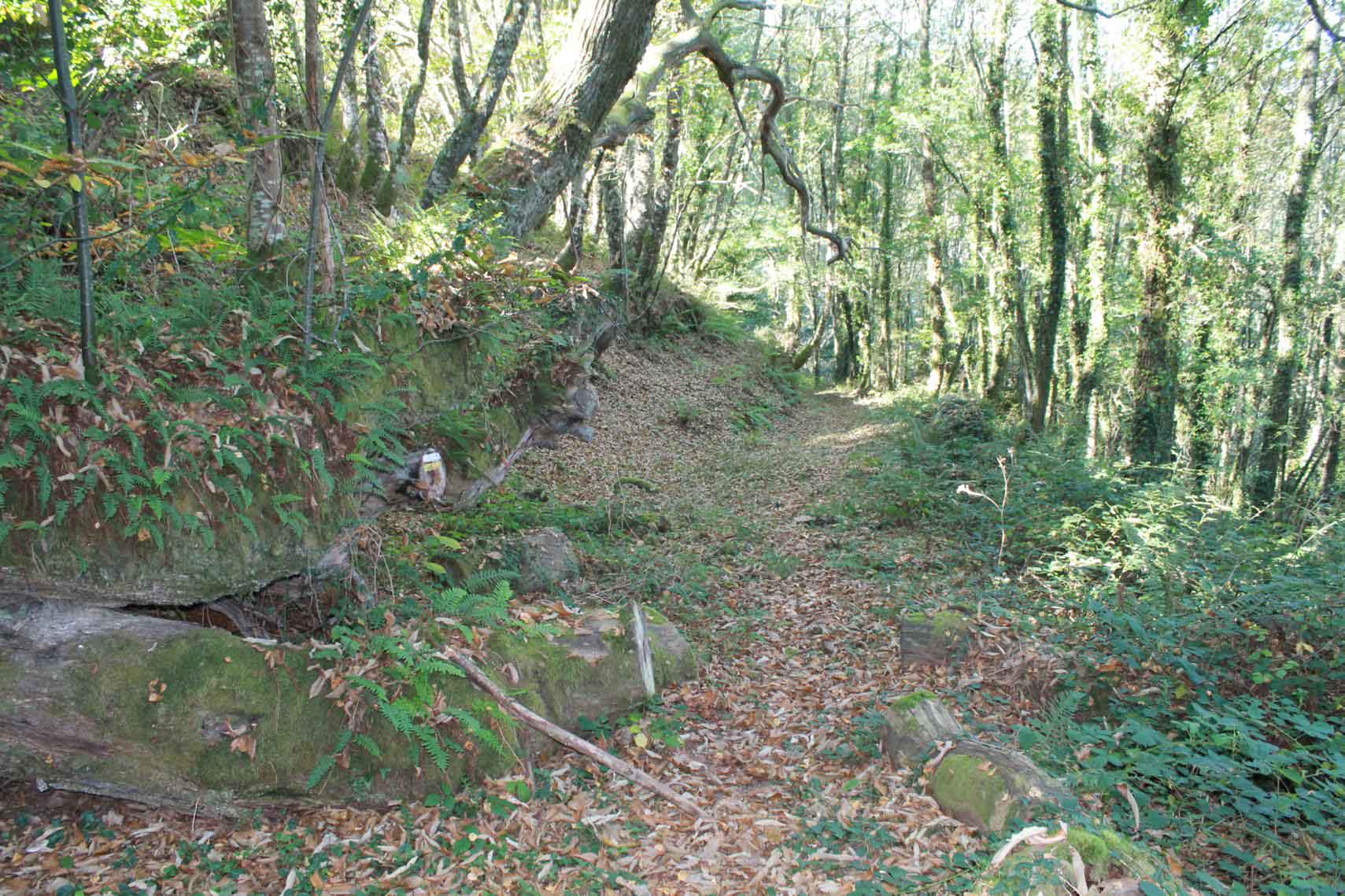
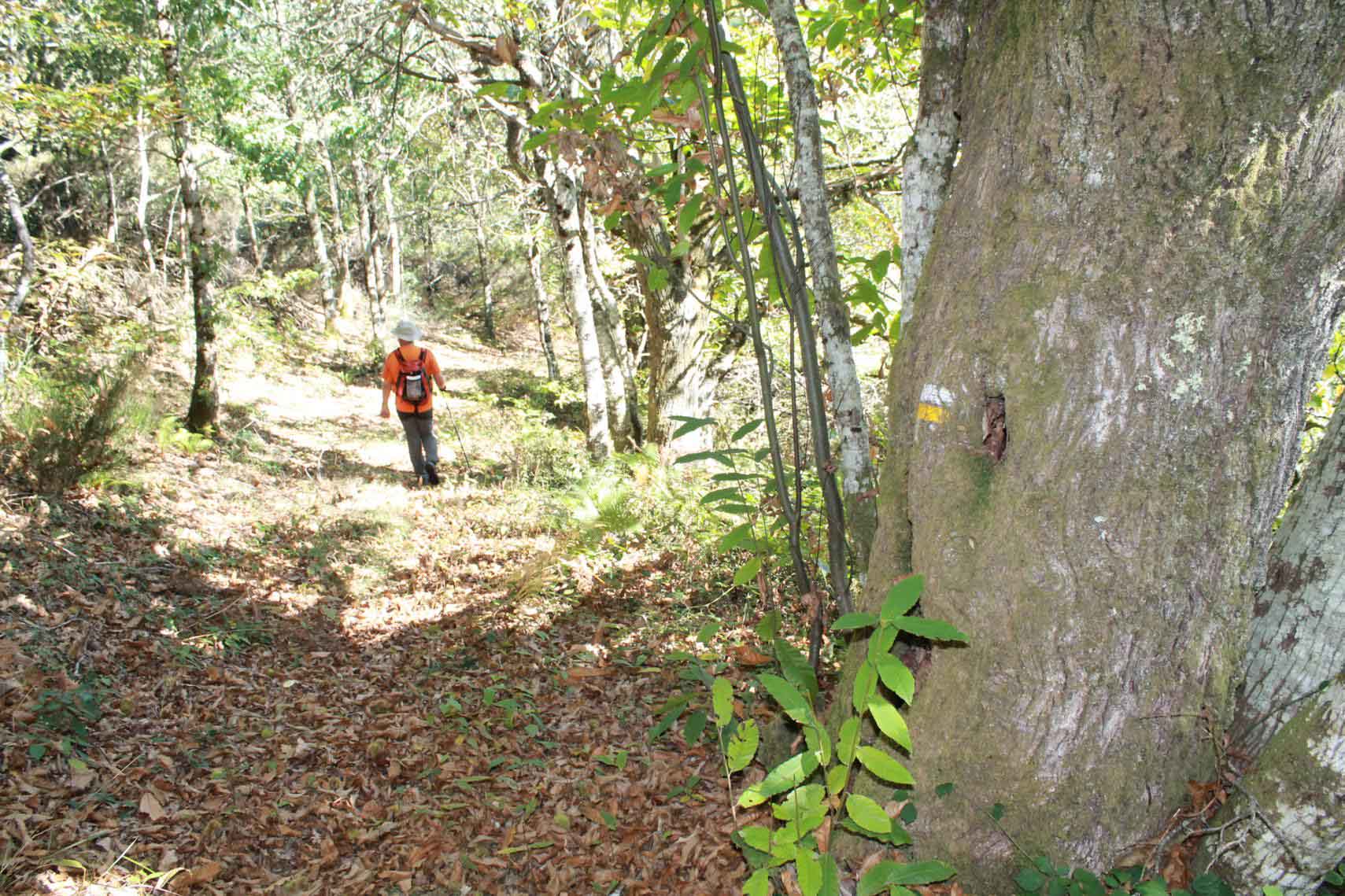
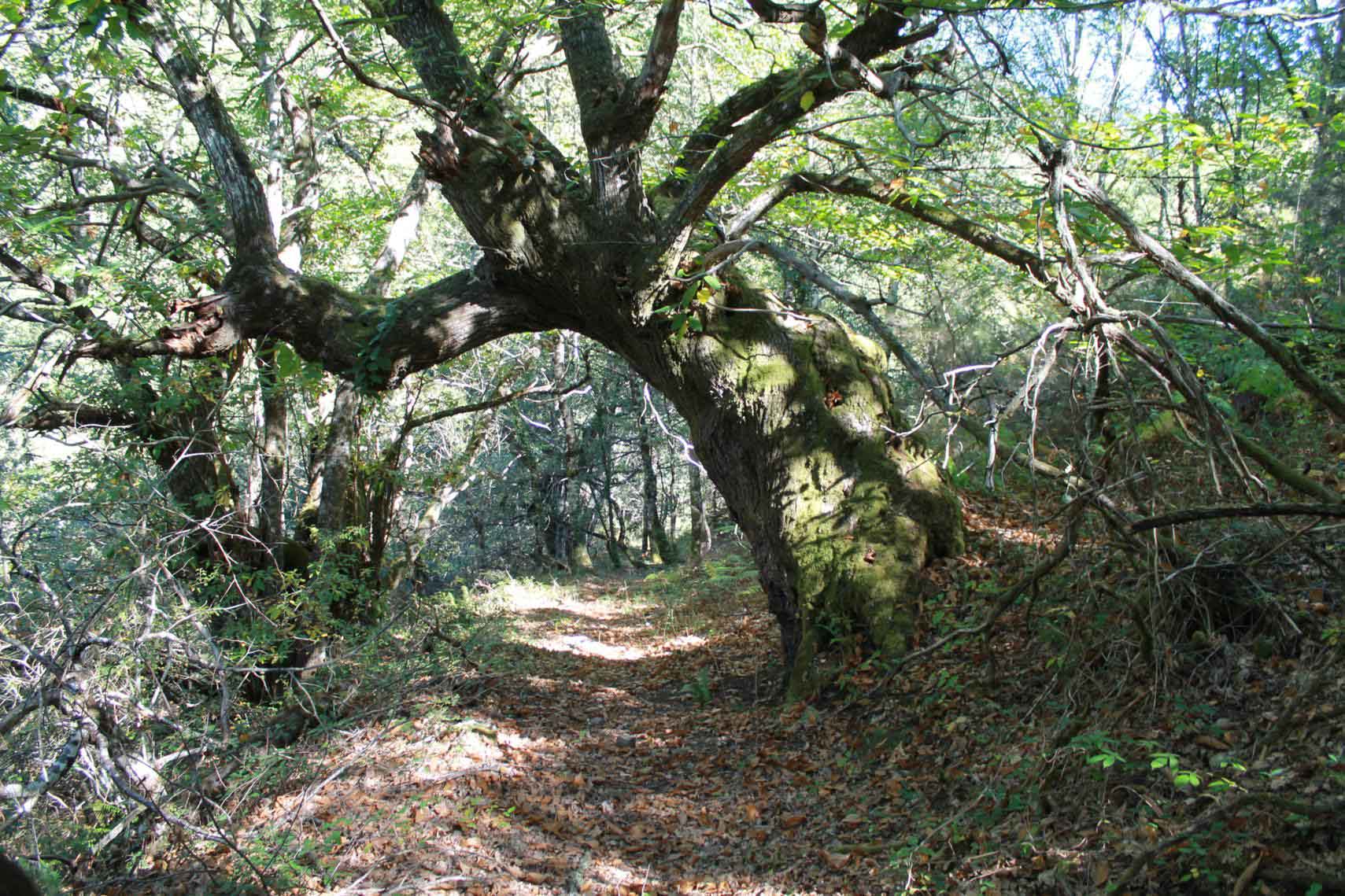
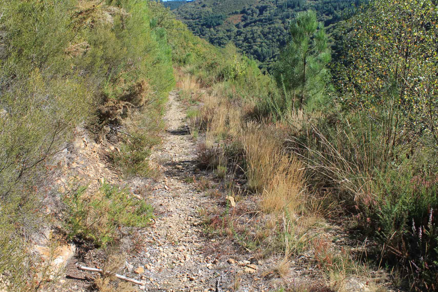
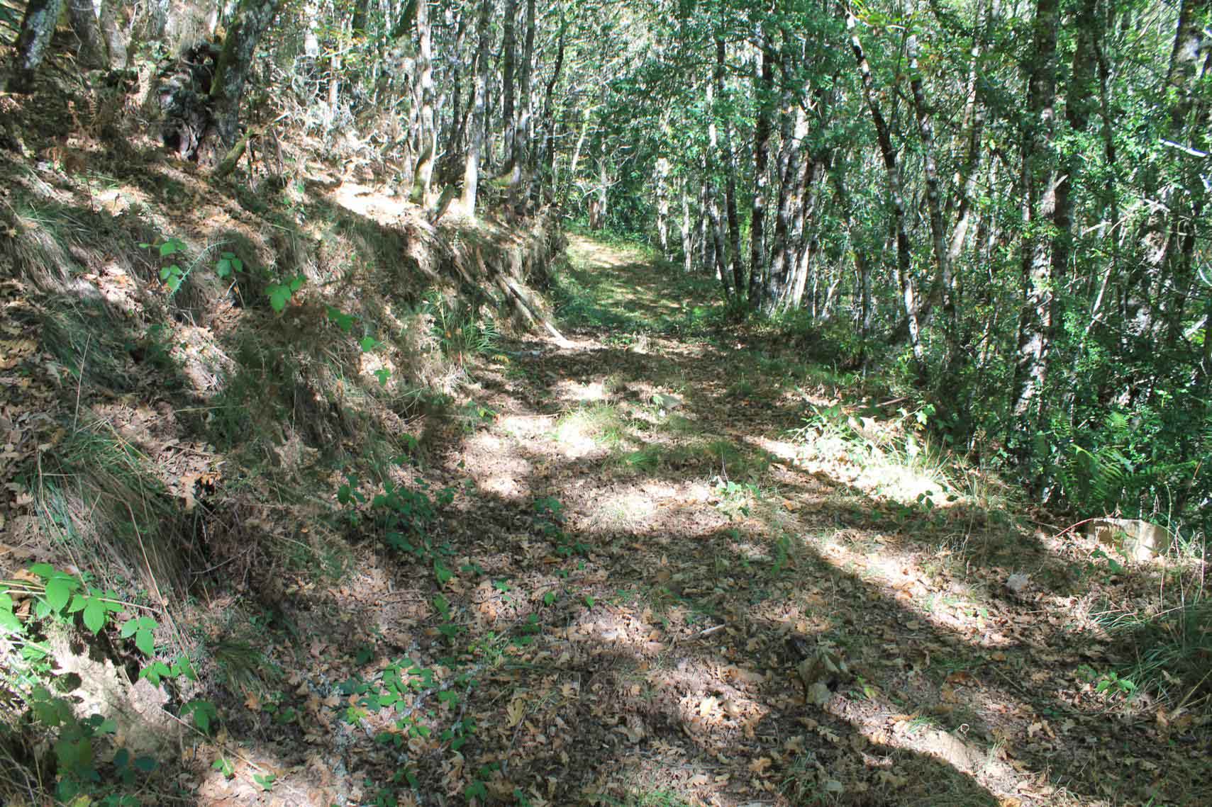
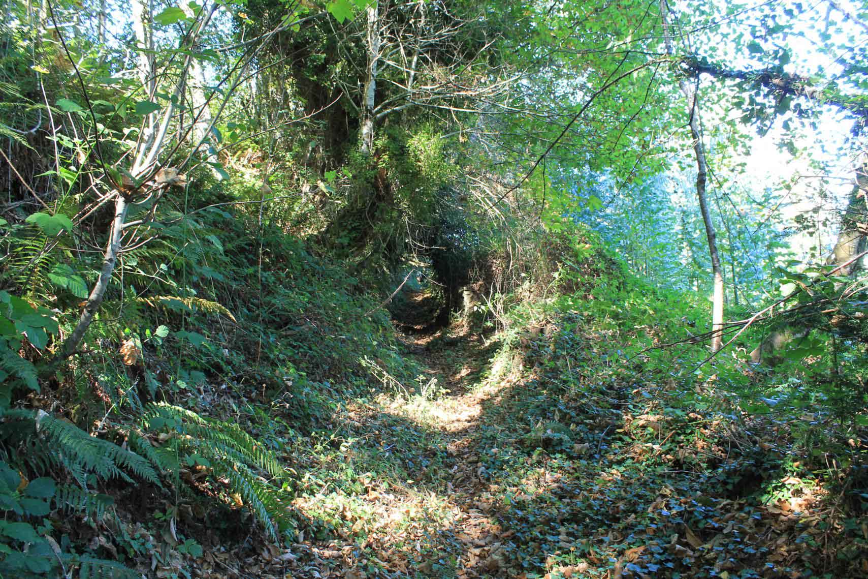
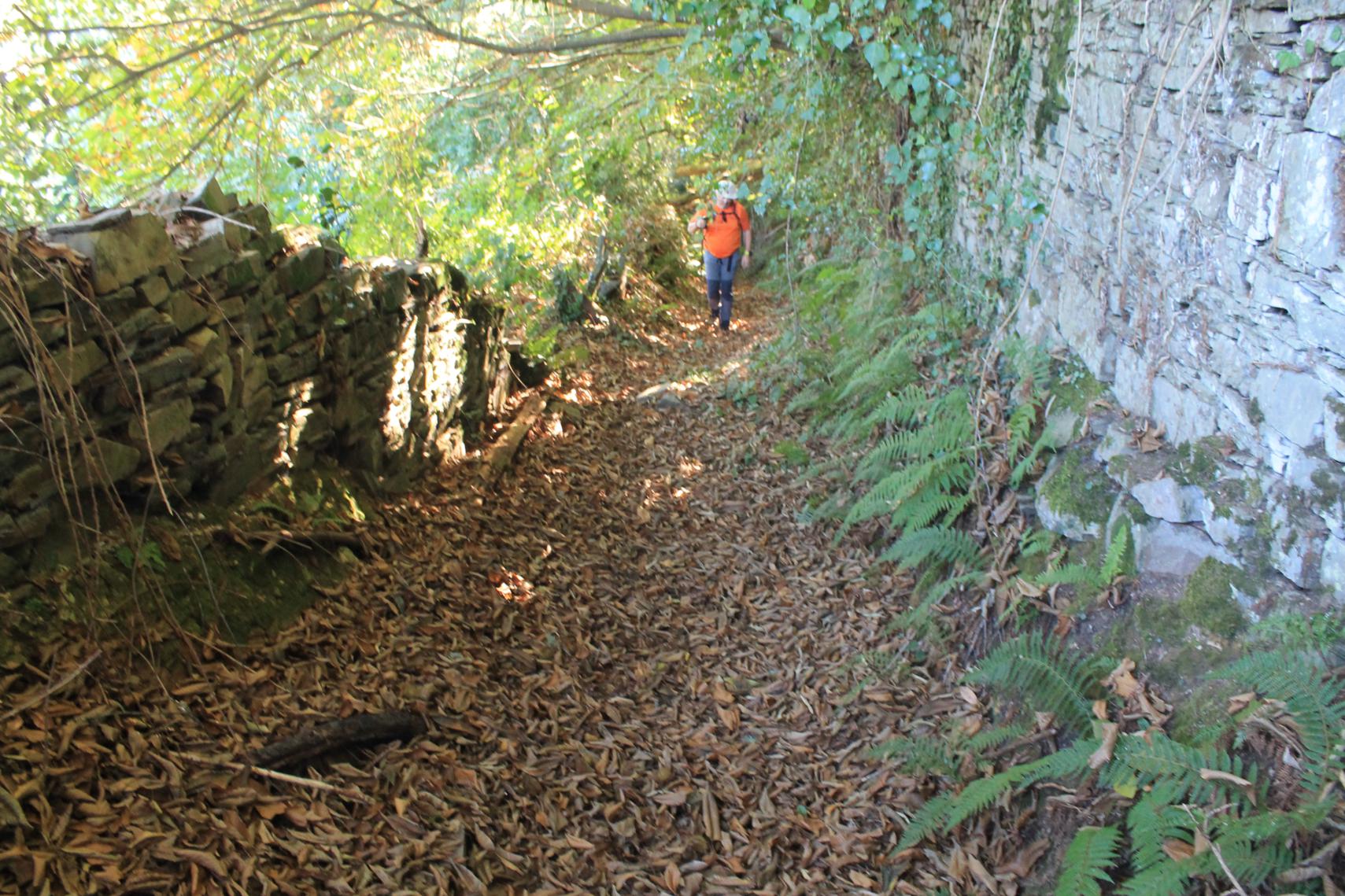
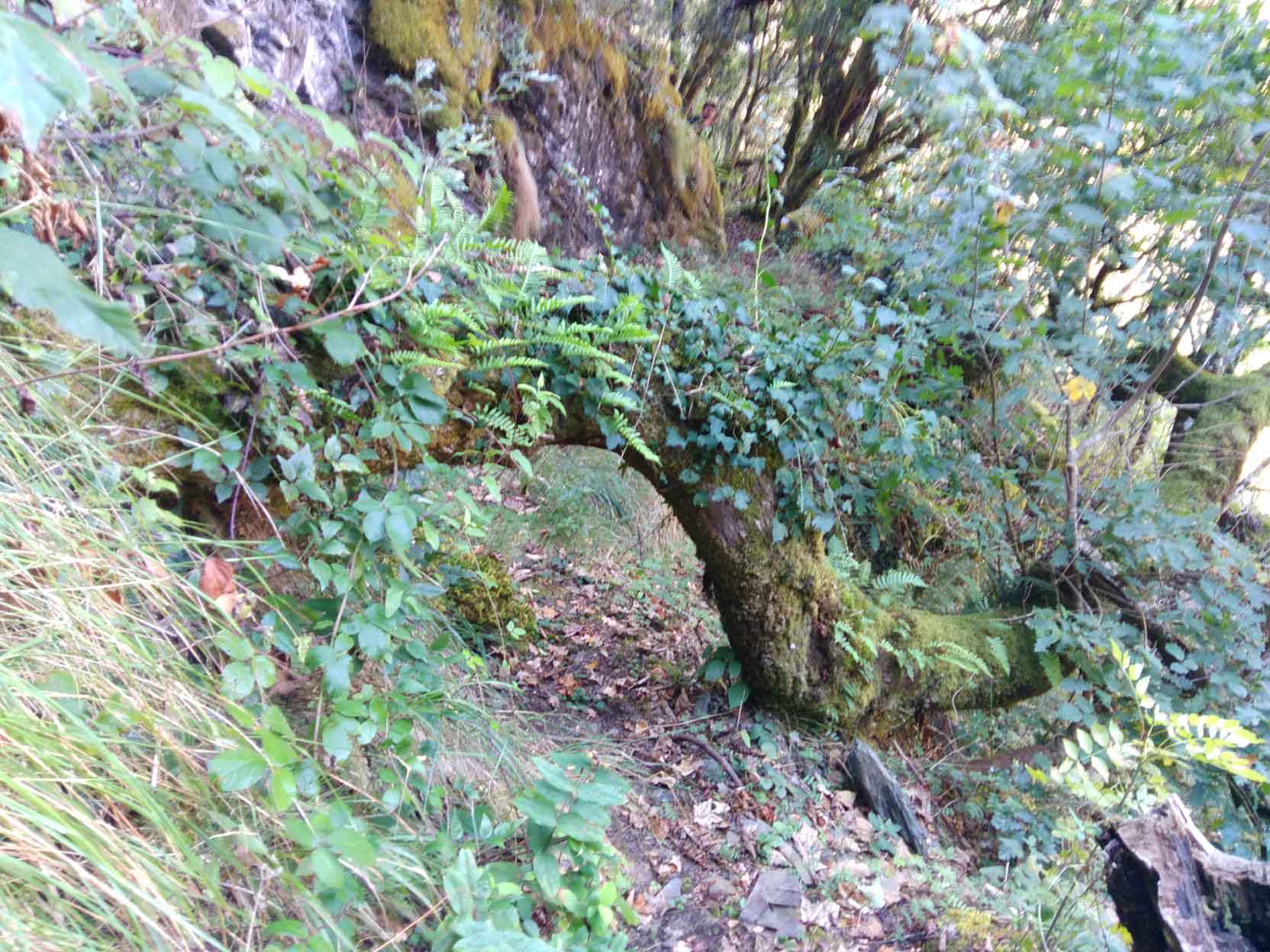
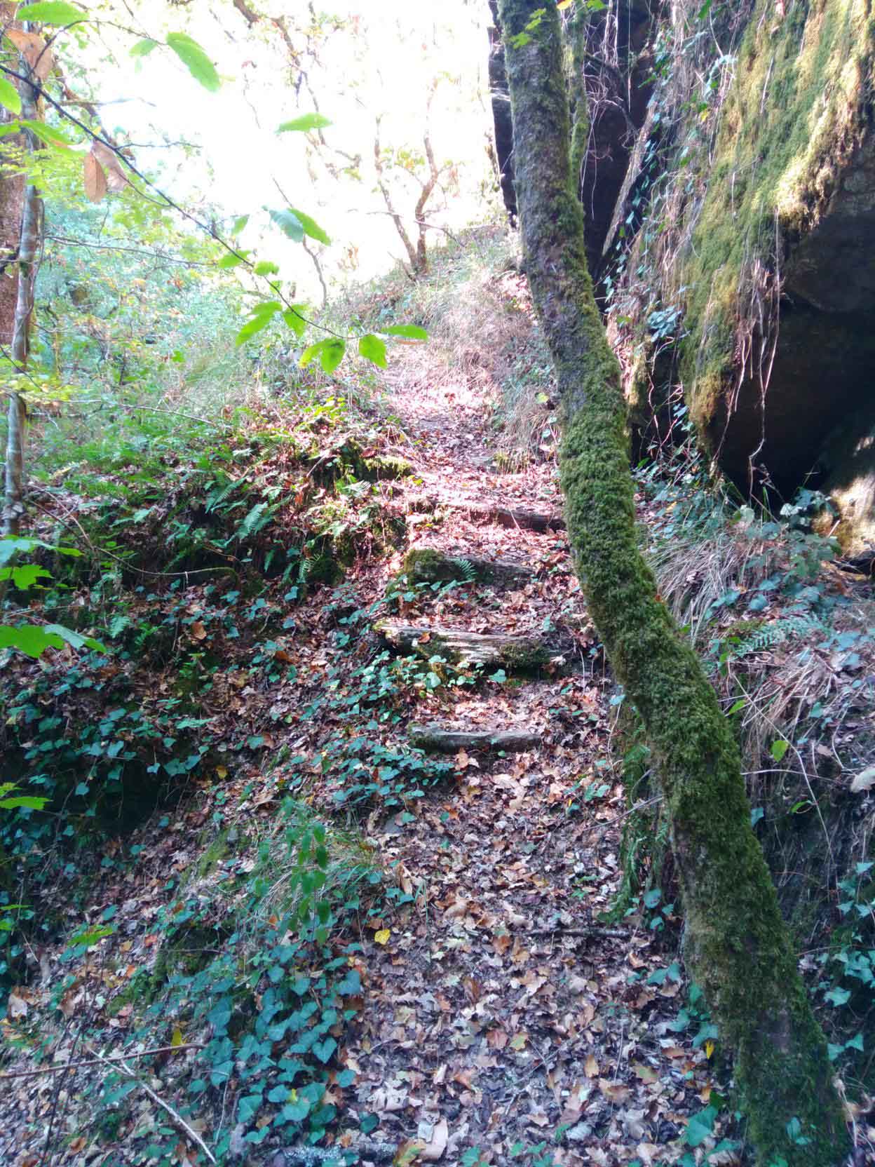
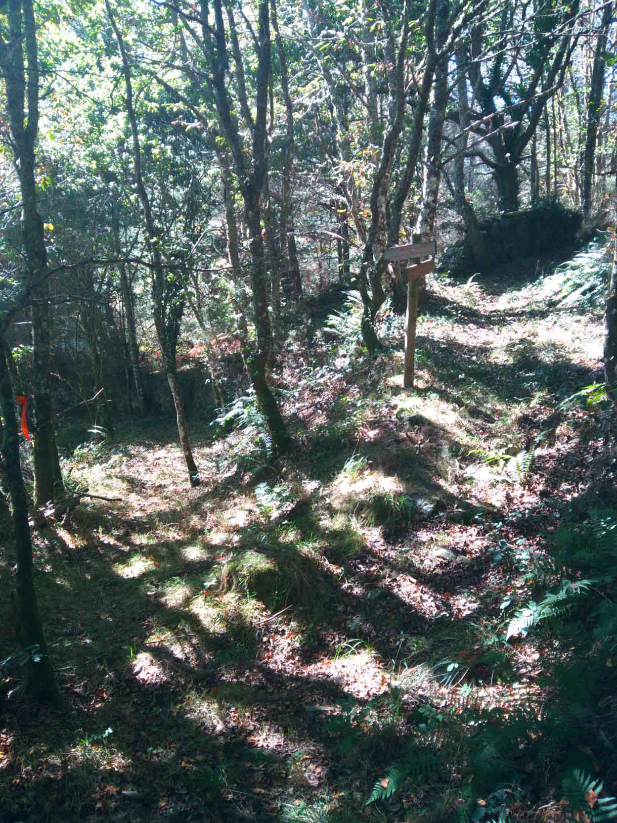
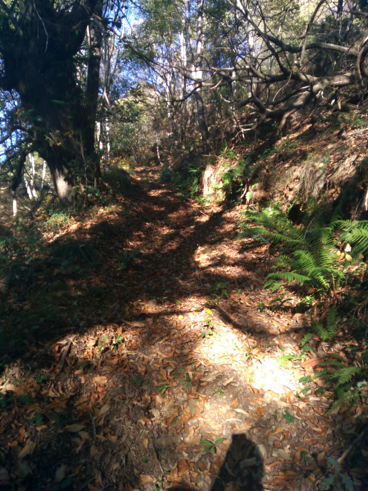
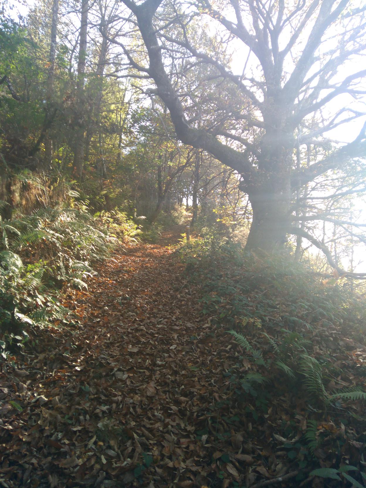
We retrace a section of the Castelo bridge and at the ?corripa? we take a right turn . We begin a steep ascent crossing a grove, if you look closely you could spot a boundary marker sunk into some of the chestnut´s trunks. We follow the path, we can see the village of Vilarín del Castelo on the right hand, continue ahead until we take the first turn on the left that leads to a big grove.The path narrows into a cart path flanked by walls and covered by a canopy of holly trees and some yews, taking us to the village with a tragic past, Vilarxubín del Castelo. Cross the village and start descending across a grove until you reach Rodil river joining Pontigon river. Go over Beltran bridge and after crossing a wood and overcoming a steep slope we reach a path that goes through an area of pine reforestation. The path starts again with a strong ascend in which you can anticipate the end of the route. This section of the route coincides with the route of Santo André. After passing through a shaded cart path that runs through grazing meadows, we get back to the road LU-740 and to the Villardíaz school.
TRACED:
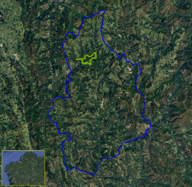
Click to go to the route
Distance:
16.85 km.
Estimated duration:
04:30:00
IMAGE GALLERY: