


DESCRIPTION:
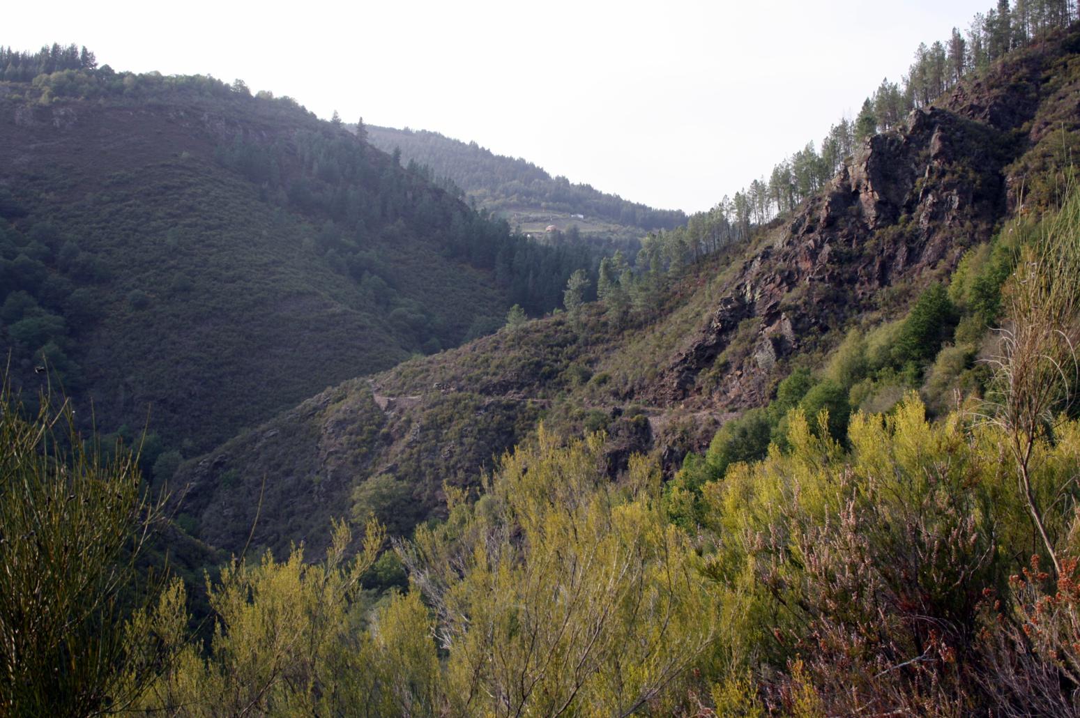
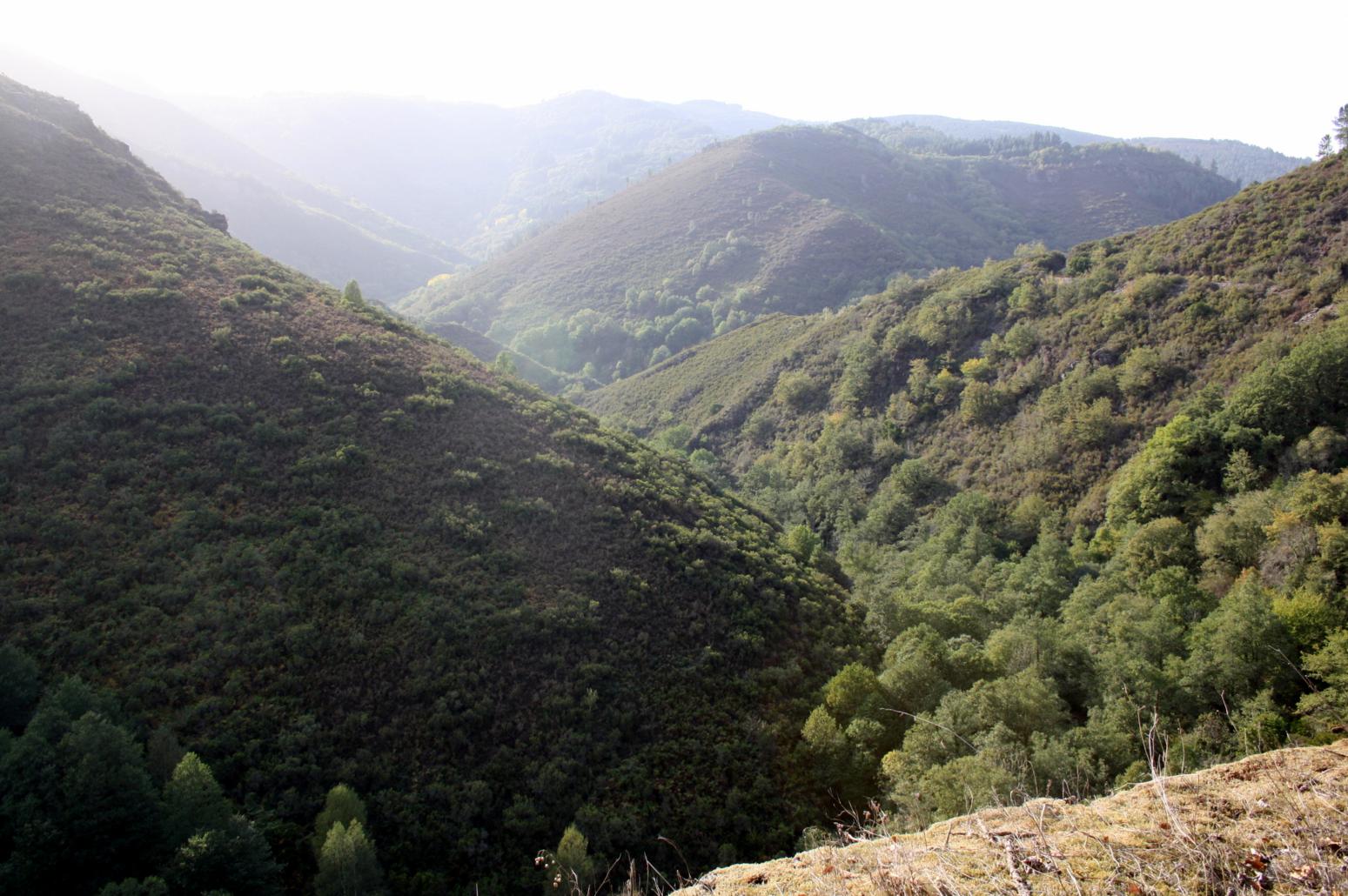
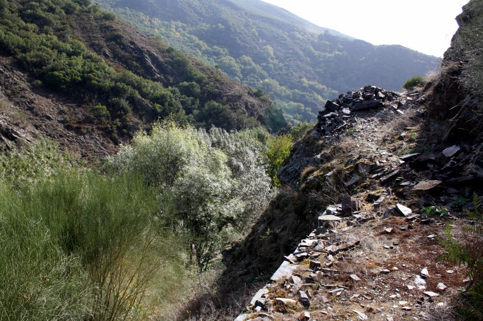
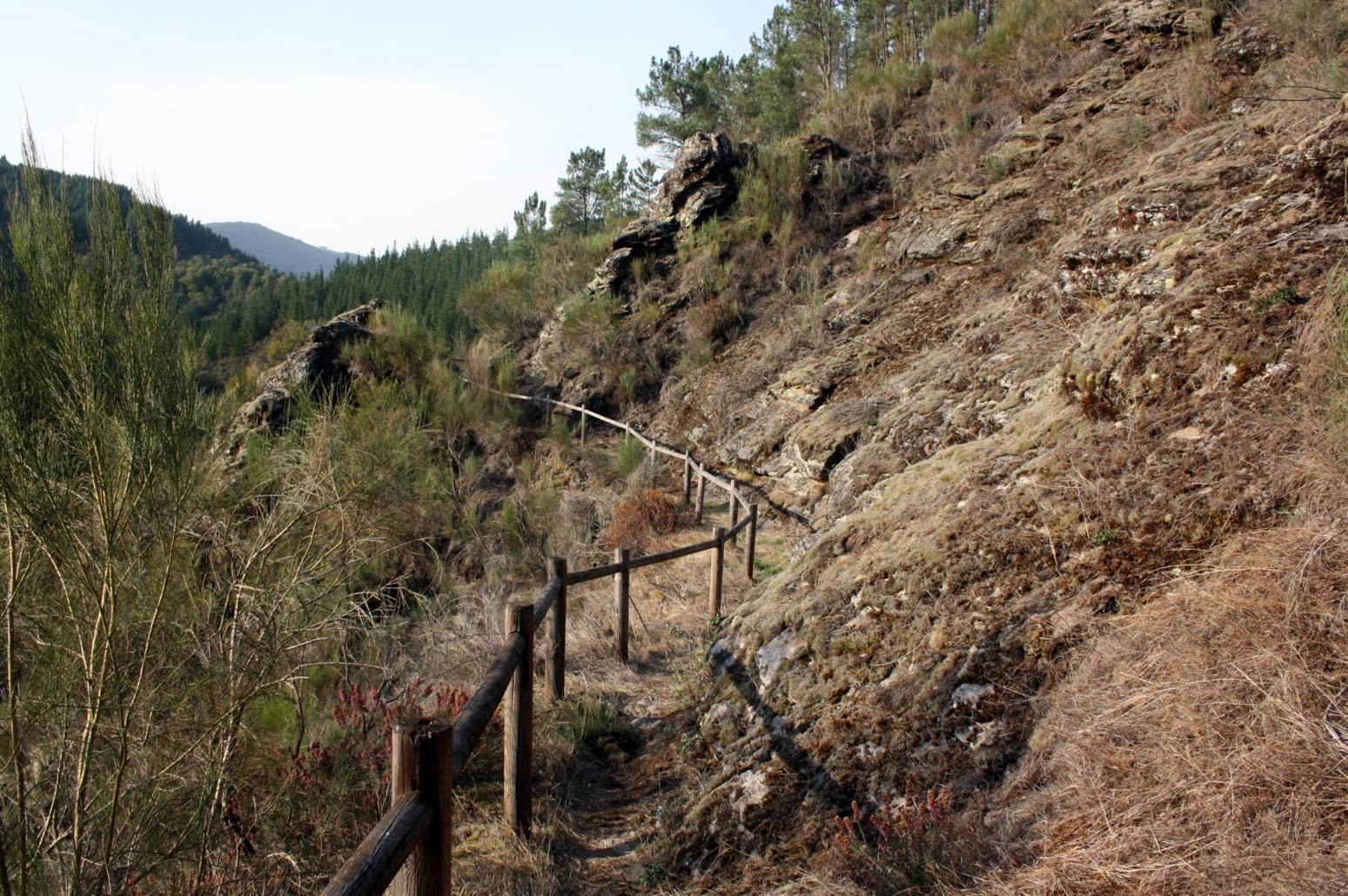
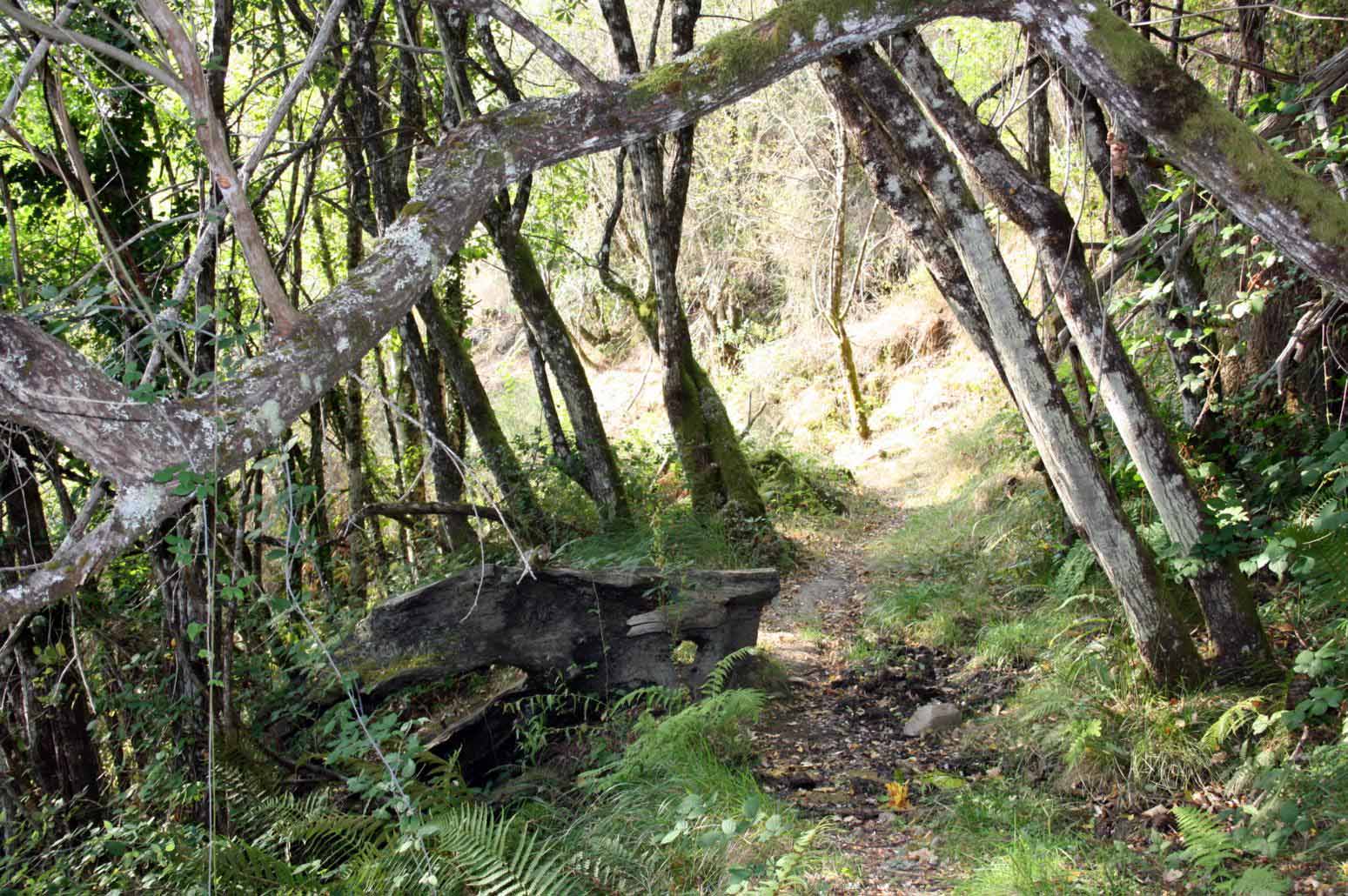
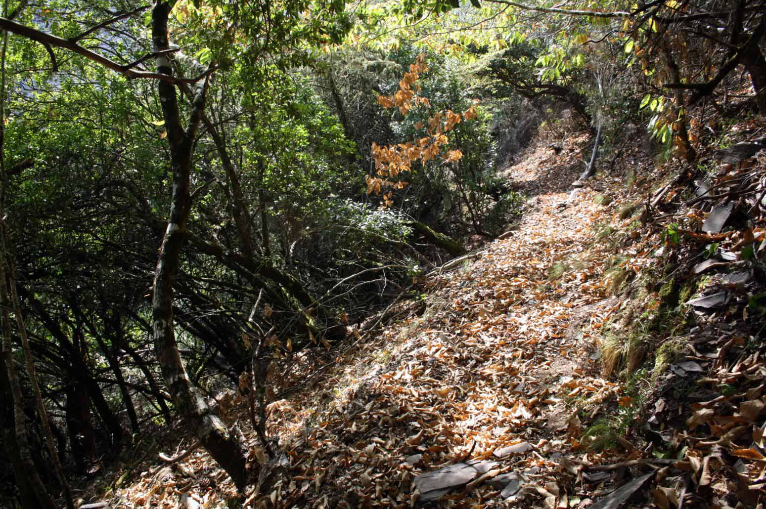
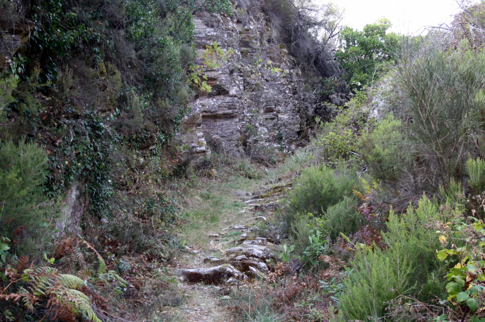
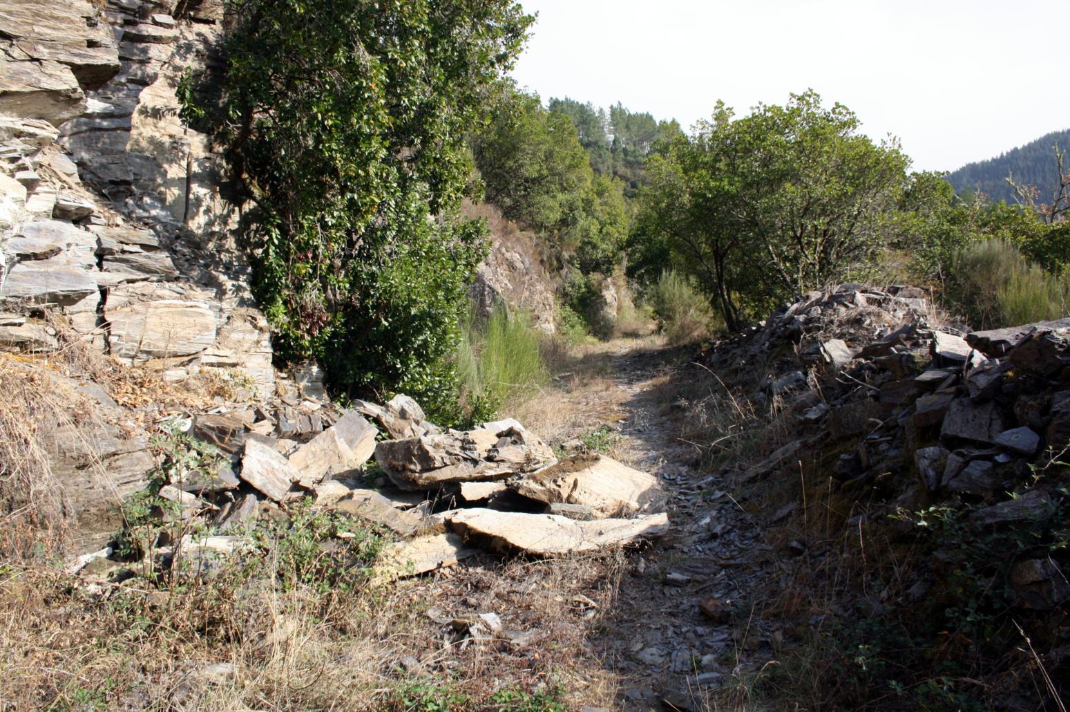
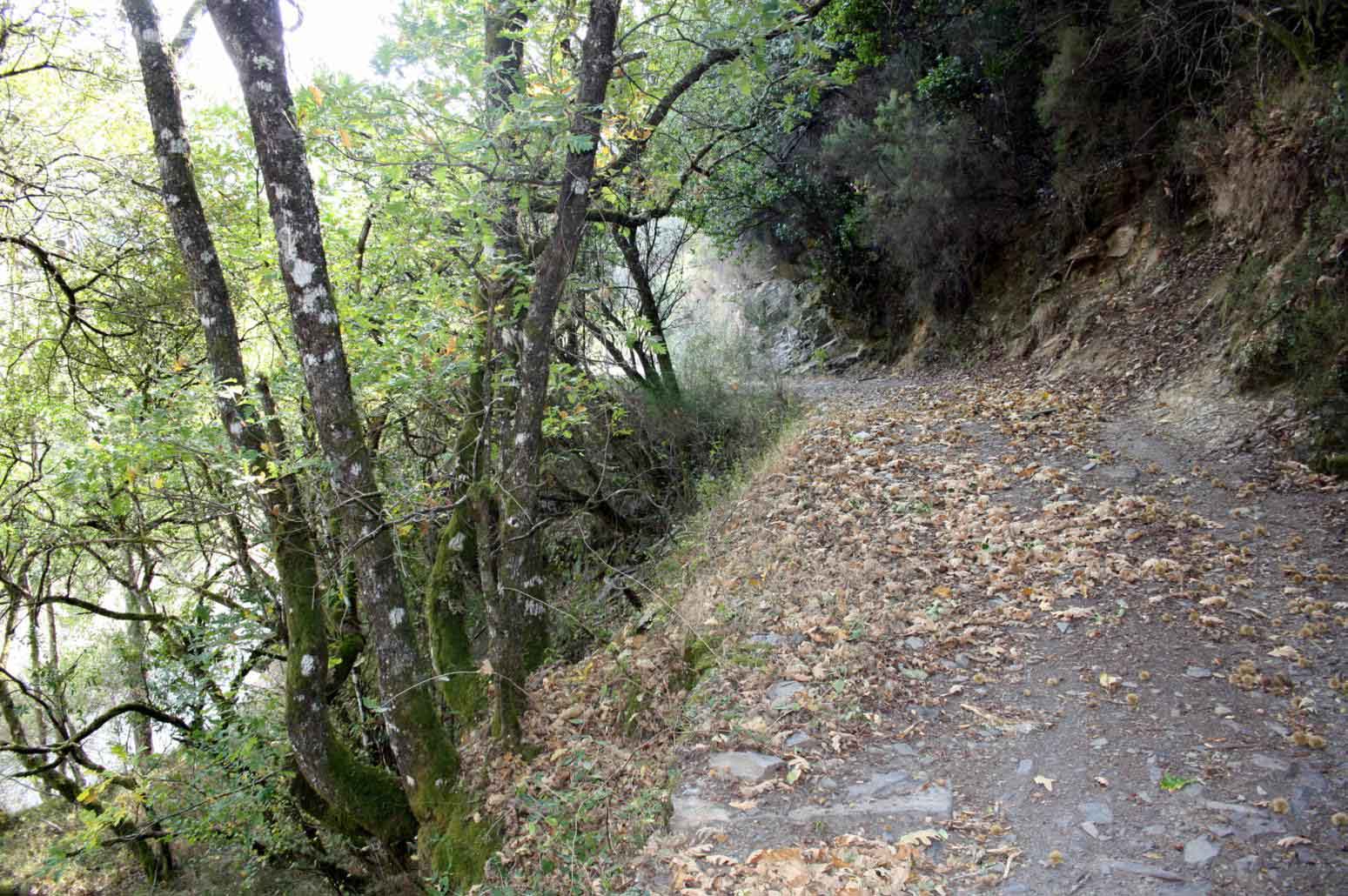
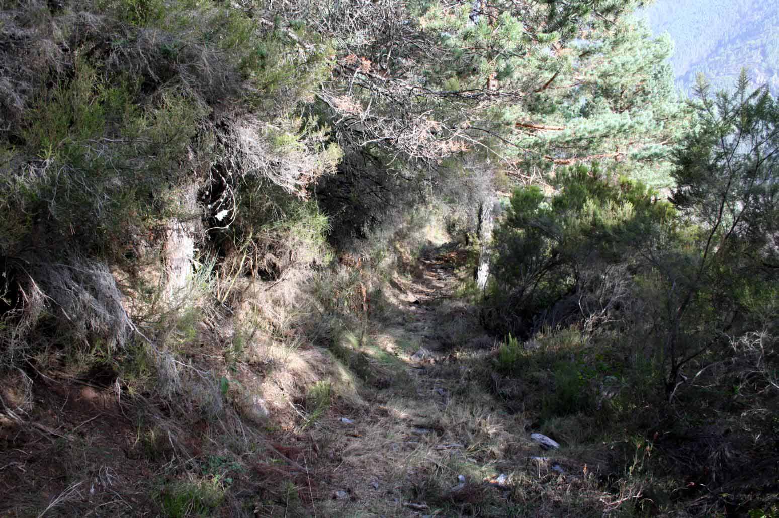
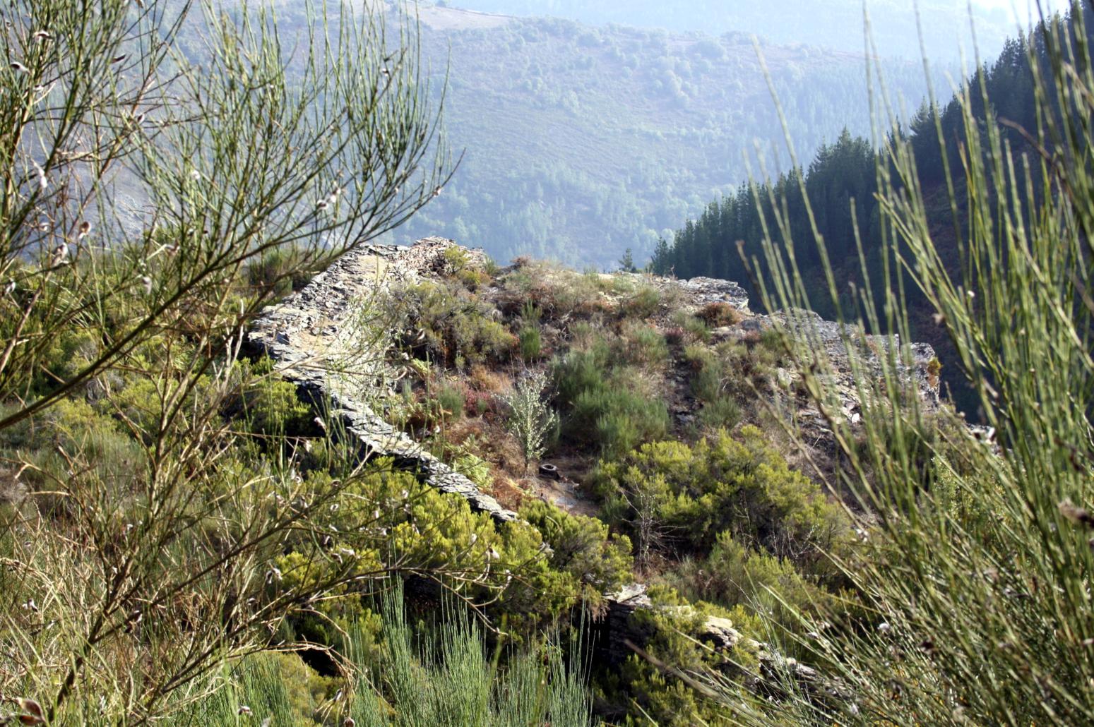
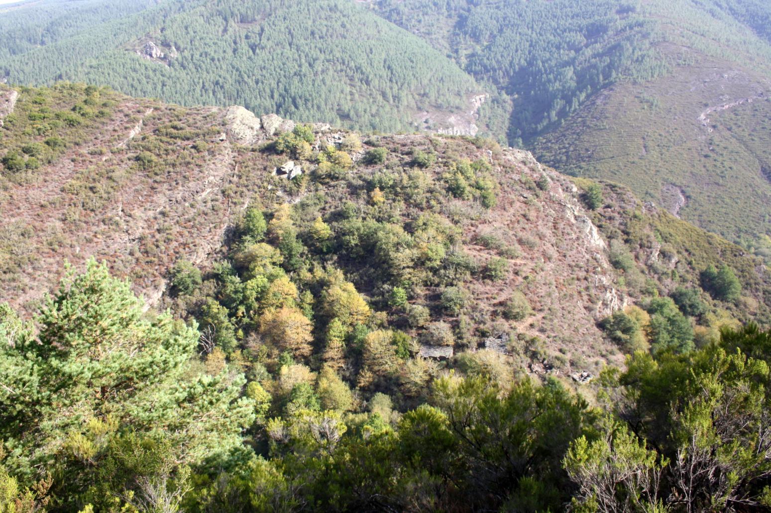
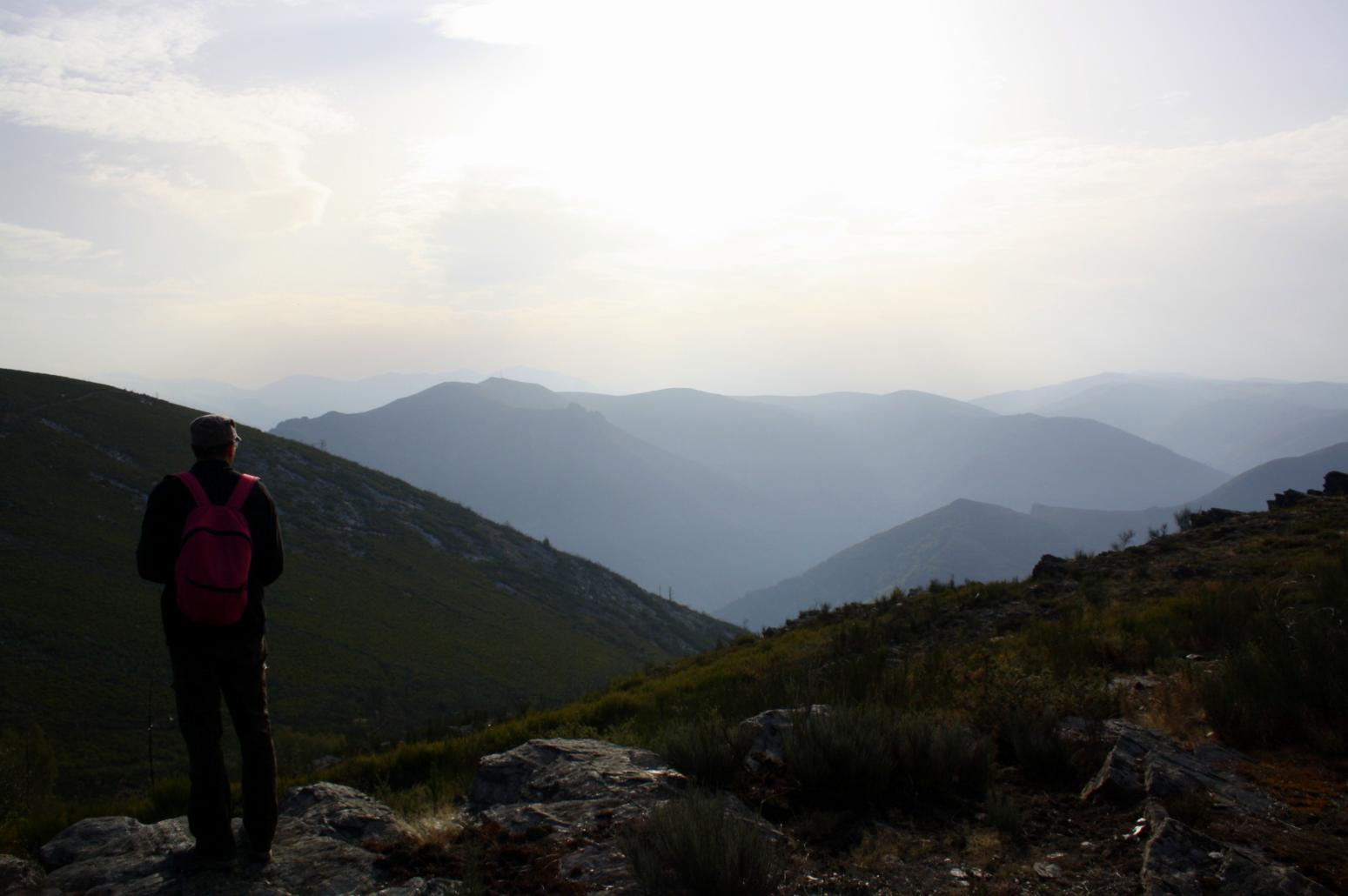
At Liñares de Bidul take a path on the left that heads east. At the beginning, the steps run along a good path that crosses the descending hill , which at its peak becomes a quite steep path. Further along you will find the ruins of the village of Ludeiro that give way to a landscape of rocks and native forest. We continue along a slippery track, which crosses several groves and streams, passing the remains of old ?corripas? (high stone circular fence used to protect chestnuts in their husks and beehives).
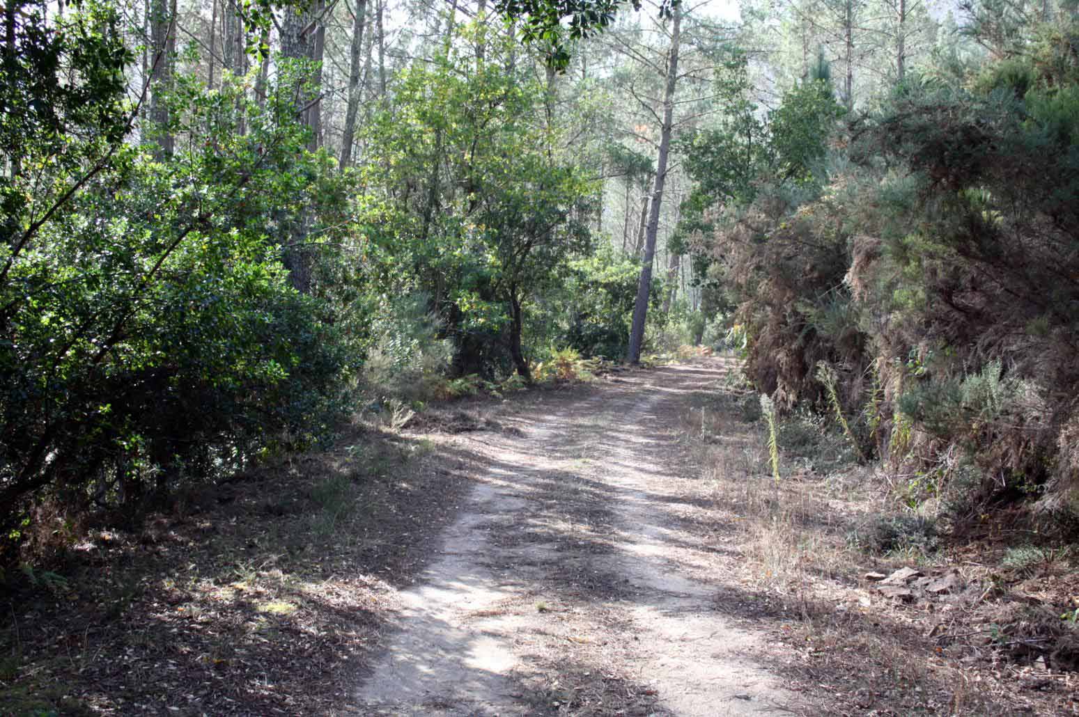
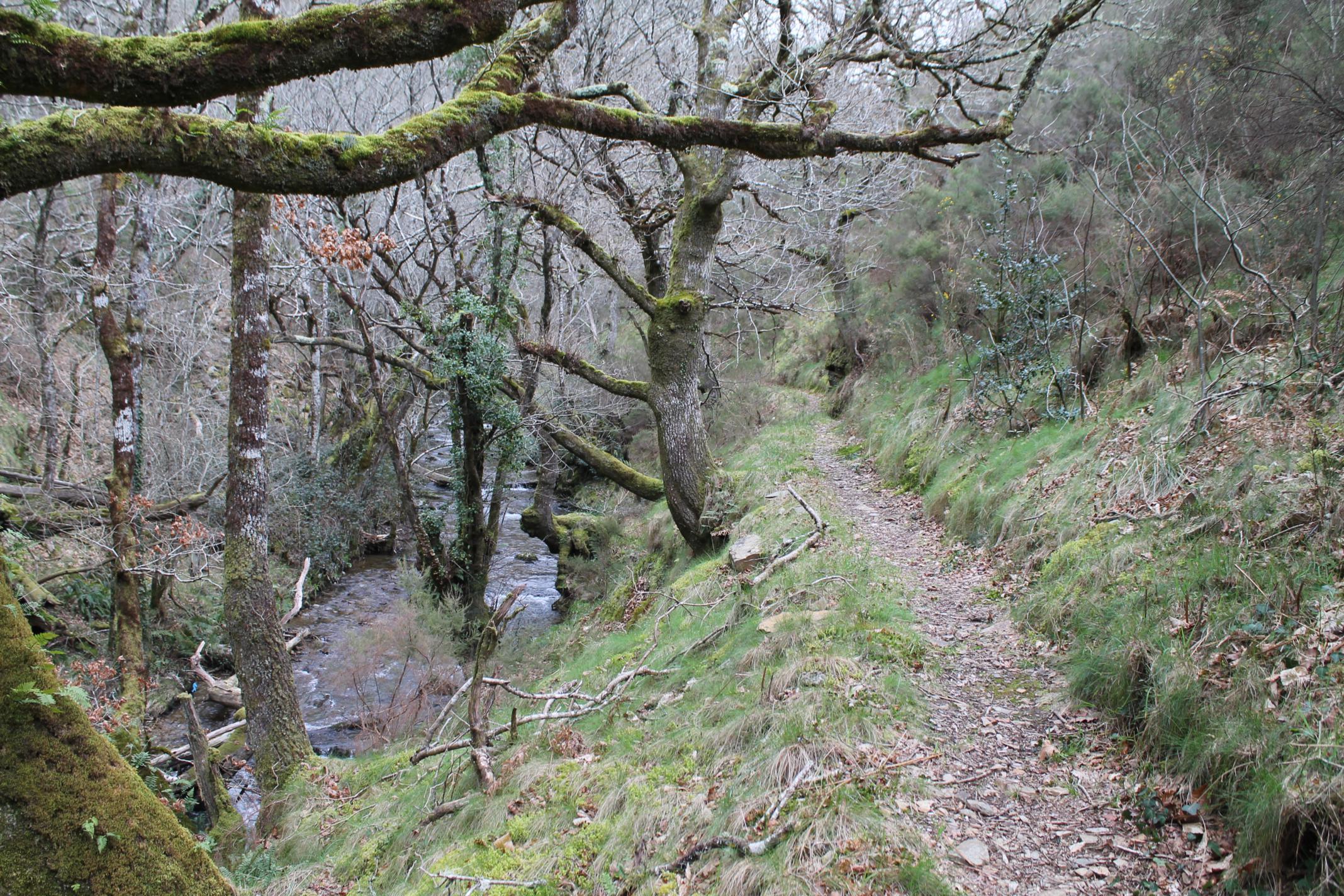
With every step, the path becomes more beautiful, following the Navallo stream , embedded in the bottom of the valley, where we find an inhabited house with a fountain. We continue along this road taking a left turn to the entrance of a track signposted ?Riodeporcos?, through which our route continues.
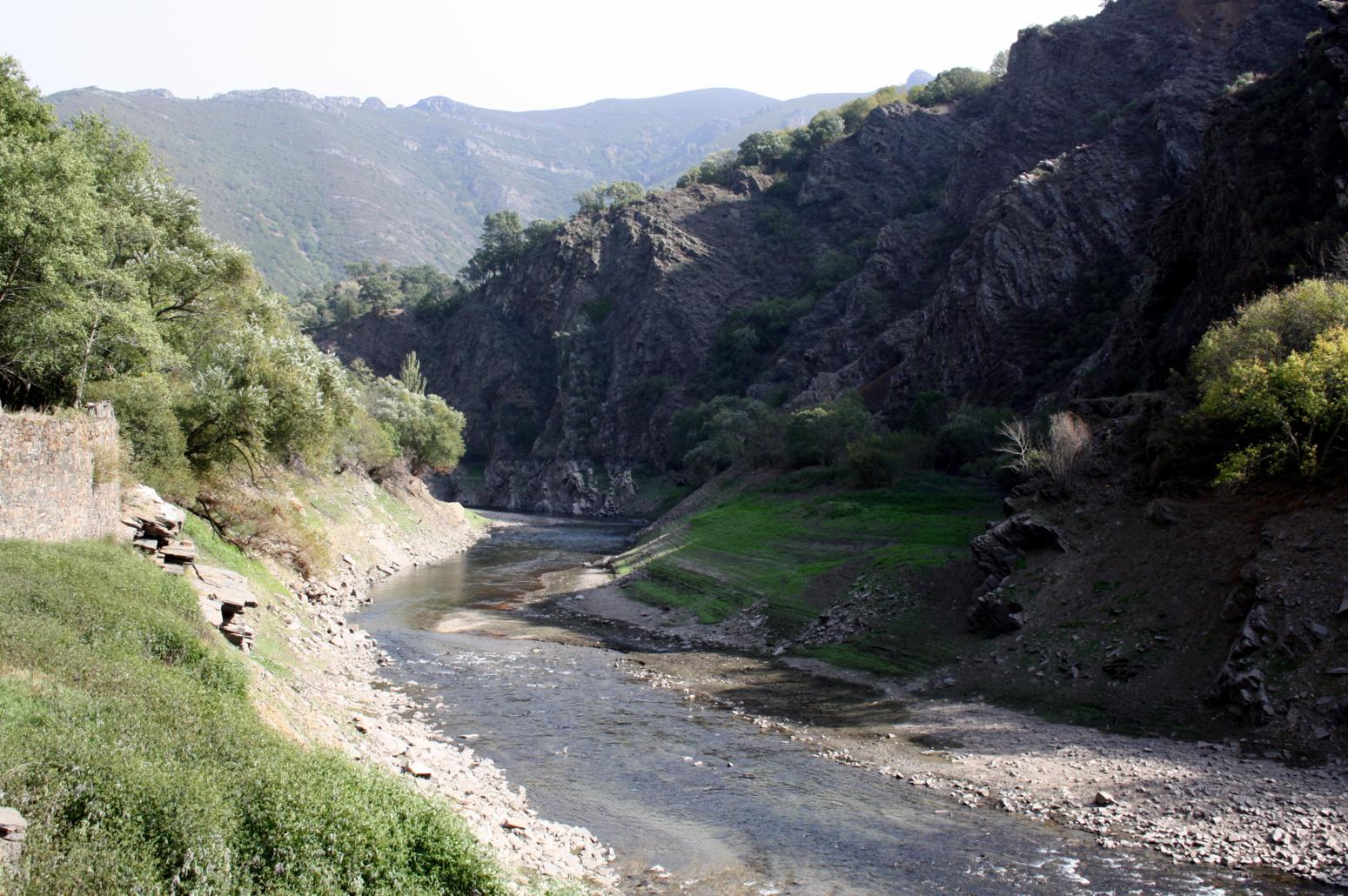
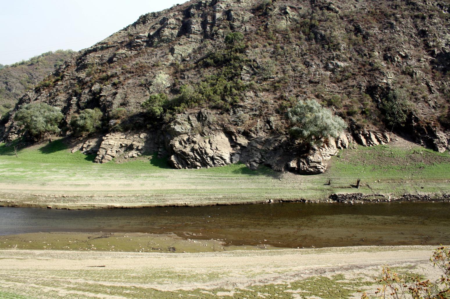
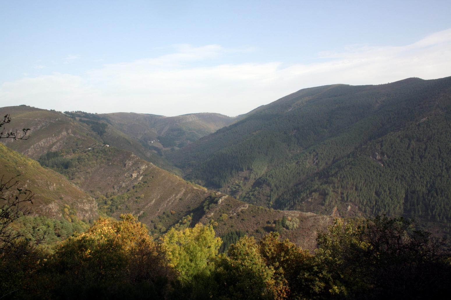
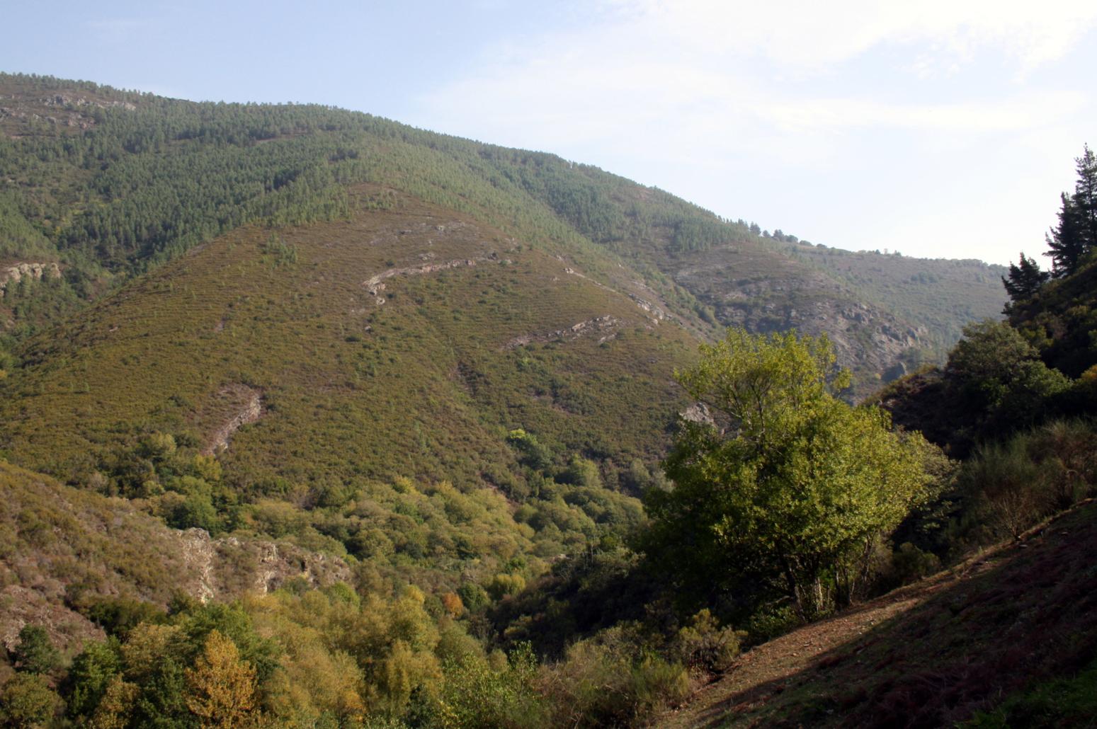
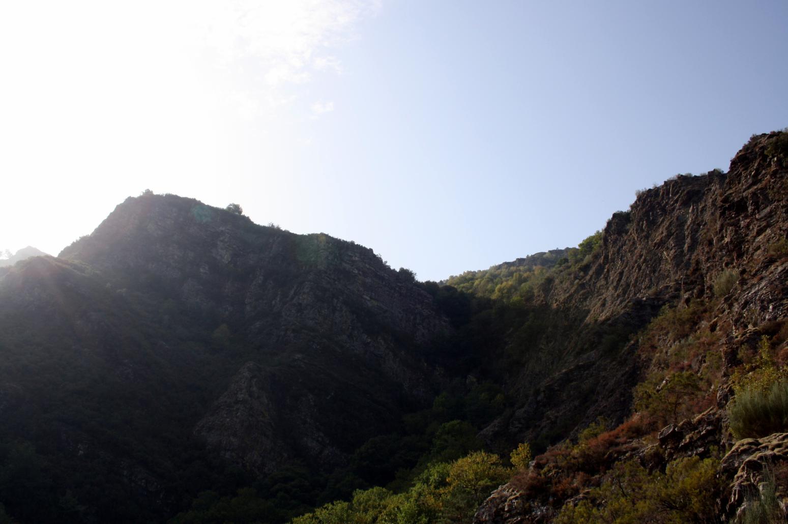
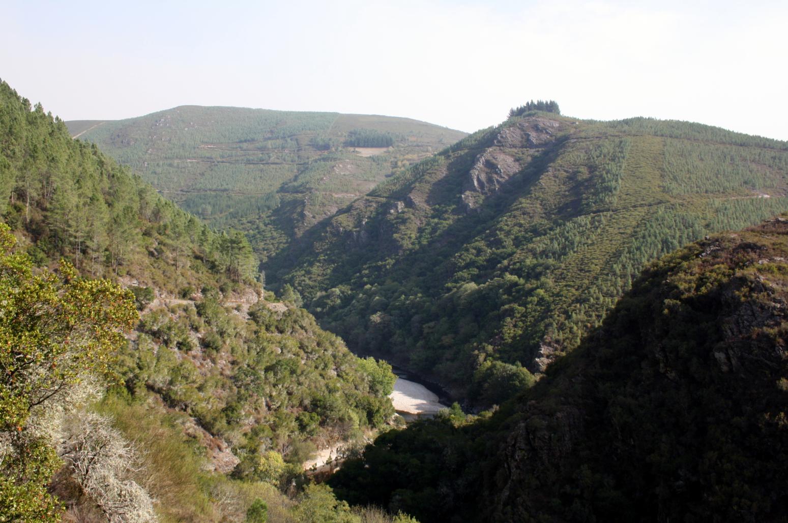
Passing the suspension bridge in Riodeporcos on our left, we continue our journey ahead, reaching the Republic Way (old path made by hand in the 1930s and 1940s that links Fonsagrada and San Antolín de Ibias), which runs close to the Grandas de Salime Reservoir.
We continue along the river Navia, enjoying , the natural beauty of the landscape until arriving at a factory where mineral was melted until 1875 and whose impressive chimney is still preserved today. In the abandoned hamlet of Forzana are the remains of an old iron foundry furnaces and an old chapel can be found.
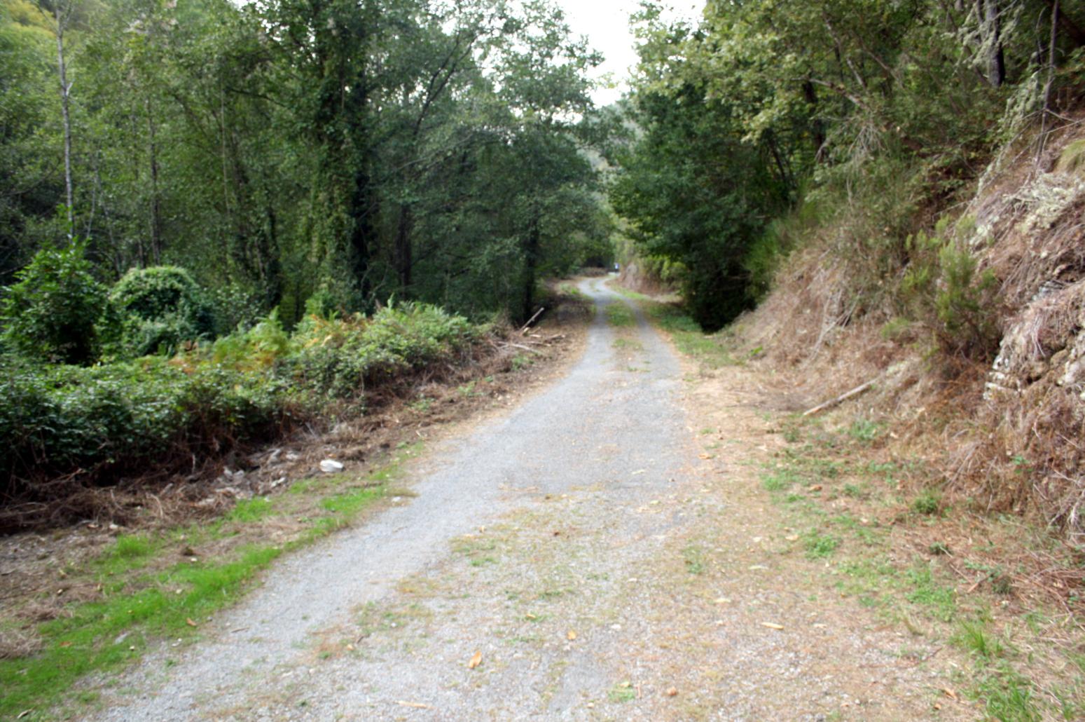
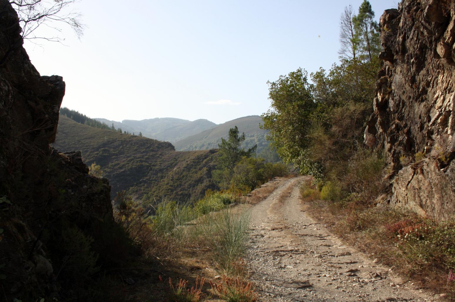
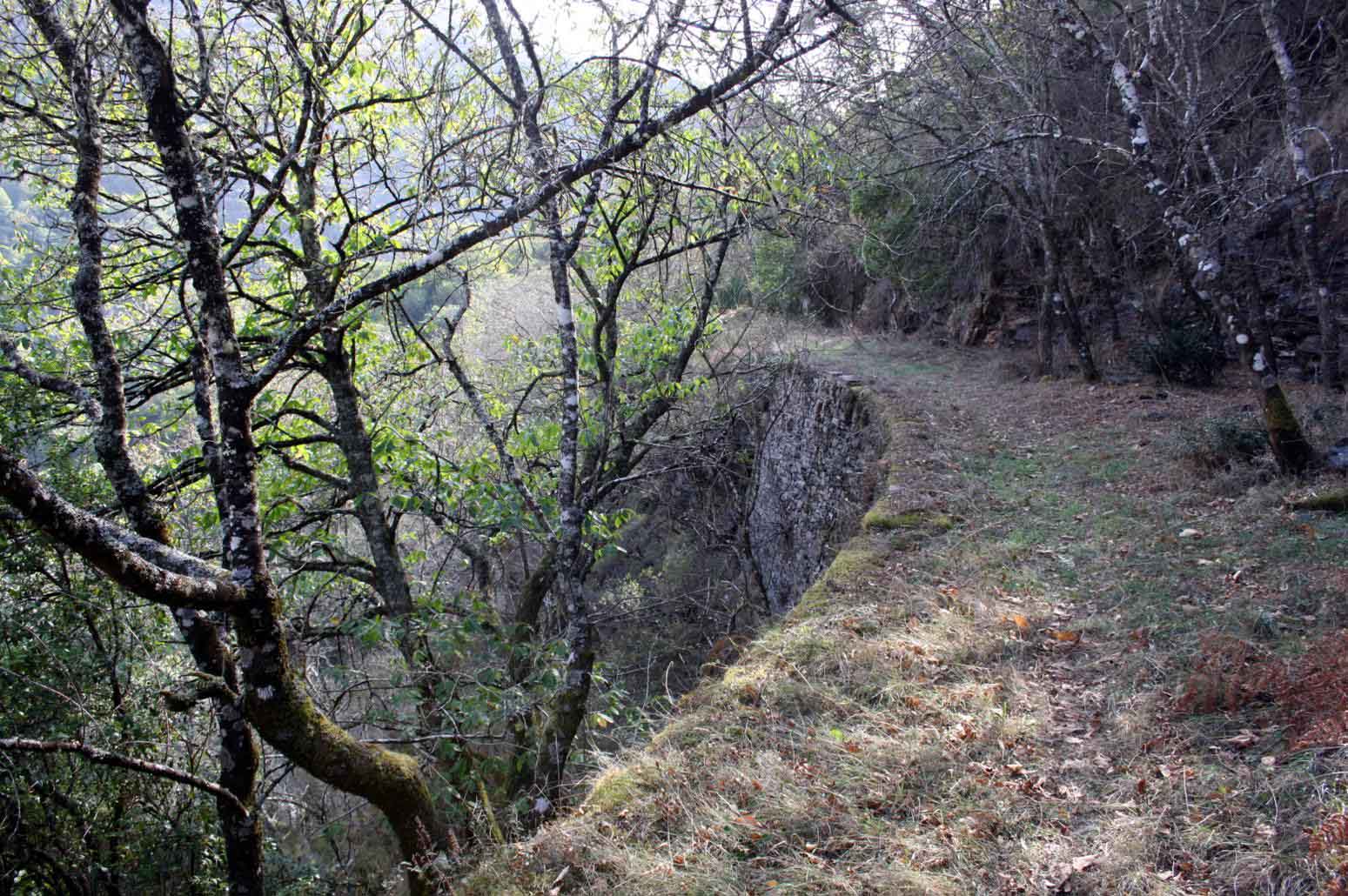
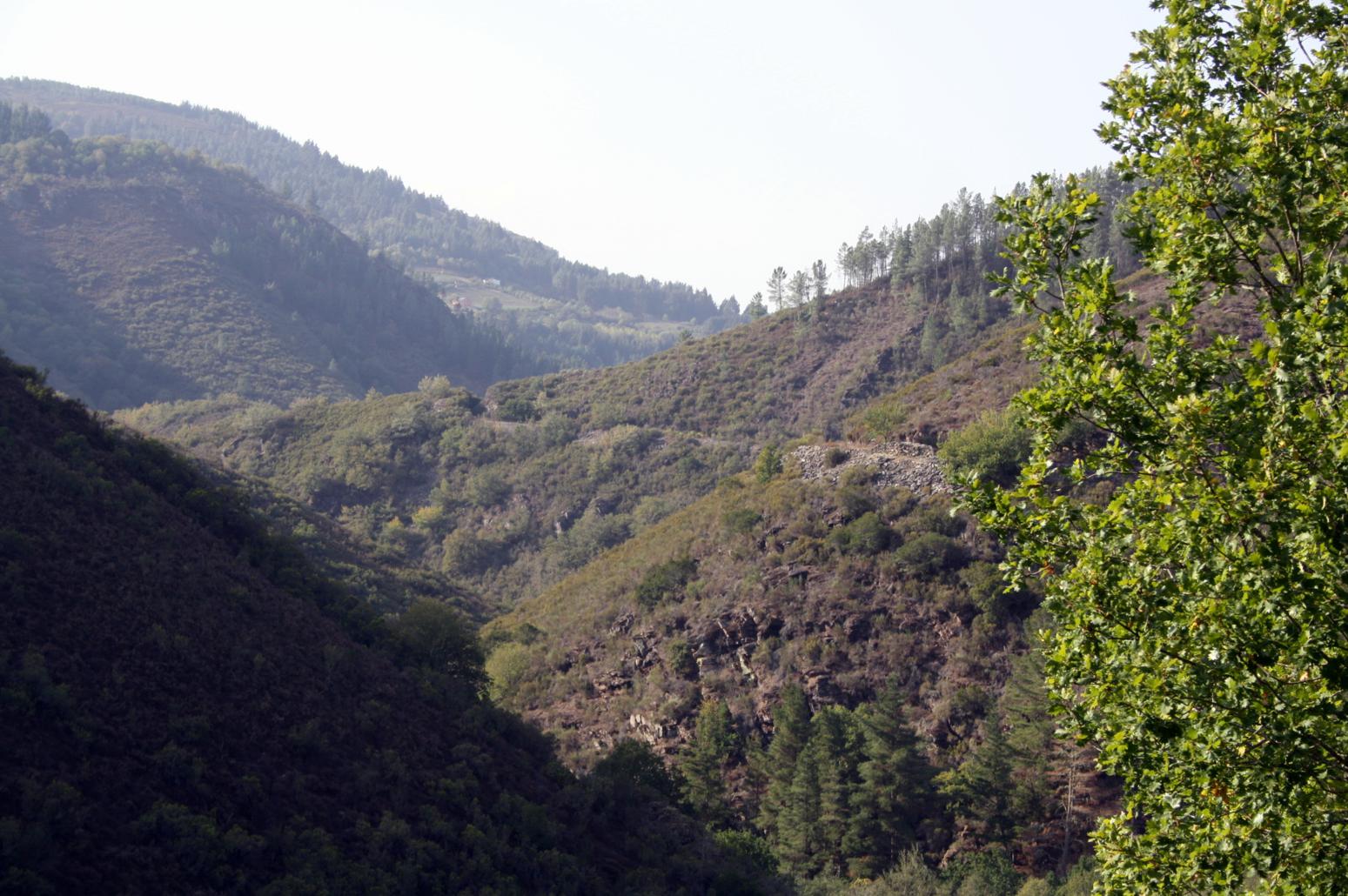
Following the path parallel to Lamas River, we will arrive at Ferreria de Vilar De Cuiña, which was active until the end of the 19th century and has been converted into a recreational area. After leaving this place we continue the path of the Republic Way , surrounded by the beauty and landscape of the banks of the Lamas River, until we reach Villabol bridge, where our journey ends.
TRACED:
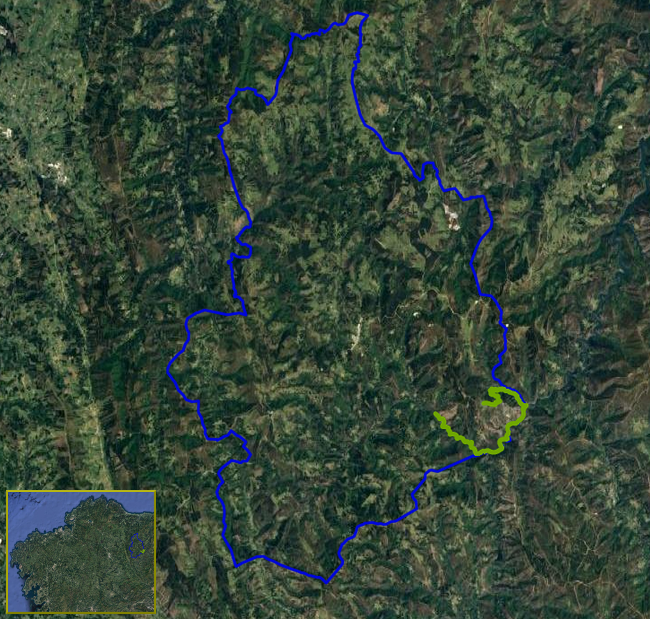
Click to go to the route
Distance:
16.81 km.
Estimated duration:
04:30:00
IMAGES GALLERY: